COLLECTION NAME:
David Rumsey Historical Map Collection
Record
Author:
Clouet, J. B. L. (Jean-Baptiste Louis), b. 1730
Date:
1787
Short Title:
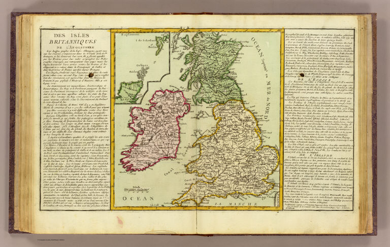
Isles Britanniques.
Publisher:
Mondhare et Jean
Publisher Location:
Paris
Type:
Atlas Map
Obj Height cm:
32
Obj Width cm:
55
Scale 1:
3,000,000
Note:
Abbot Jean Baptiste Louis Clouet (c. 1730 – 1790) was a French cartographer active in the mid to late 18th century. Clouet held the post of Royal Geographer of the Academie des Sciences de Rouen, he had offices in Paris and Cadiz. Clouet’s most important work is his Geographie Moderne, which was published in various editions from 1776 – 1793. Clouet also produced a series of stunning and highly decorative wall maps depicting the various continents. He followed in the footsteps of Jean-Baptiste Nolin and other French cartographers, reissuing these grand wall-maps in the latter part of the 18th century to decorate the houses of Paris and more unusually Spain.
Country:
England
Country:
Ireland
Region:
British Isles
Subject:
School
Full Title:
Des Isles Britanniques. (1787)
List No:
4757.046
Page No:
46
Series No:
50
Publication Author:
Clouet, J. B. L. (Jean-Baptiste Louis), b. 1730
Pub Date:
1787
Pub Title:
Geographie moderne avec une introduction. Ouvrage utile a tous ceux qui veulent se perfectionner dans cette science ... Dediee Messieurs de l'Academie Royale des Sciences et Belles-Lettres de Rouen. Par Mr. l'Abbe Clouet de la meme Academie avec approbation et P. du R. Corrigee et Augmentee des nouvelles decouvertes du celebre Capitaine Cook et des changements arrives dans l'Amerique Septentrional. 1787. A Paris chez Mondhare et Jean rue St. Jean de Beauvais pres celle des Noyers. (title page only) Berthault. S.
Pub Reference:
P661; Moreland & Bannister p.138; Cf P-Maps, p.1094 (1791 ed.)
Pub Note:
See note field above.
Pub List No:
4757.000
Pub Type:
School Atlas
Pub Maps:
68
Pub Height cm:
39
Pub Width cm:
31
Image No:
4757046
Authors:
Clouet, J. B. L. (Jean-Baptiste Louis), b. 1730
Collection:
Rumsey Collection
