COLLECTION NAME:
David Rumsey Historical Map Collection
Record
Author:
Cary, John, ca. 1754-1835
Date:
1794
Short Title:
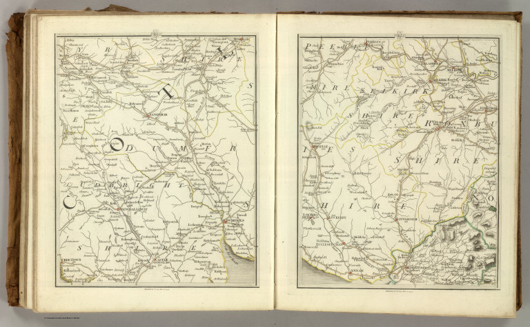
Sheets 66-67. (Cary's England, Wales, and Scotland).
Publisher:
John Cary
Publisher Location:
London
Type:
Atlas Map
Obj Height cm:
27
Obj Width cm:
46
Scale 1:
360,000
Note:
Relief shown by hachures. Parks, canals, roads, churches, and towns (by class) shown.
Reference:
TMC 43, pp. 40-47
Country:
England
Country:
Wales
Full Title:
(Cary's New Map of England And Wales, With Part Of Scotland). Sheets 66-67.
List No:
0132.038
Page No:
66-67
Series No:
41
Engraver or Printer:
Cary, John, ca. 1754-1835
Publication Author:
Cary, John, ca. 1754-1835
Pub Date:
1794
Pub Title:
Cary's New Map of England And Wales, With Part Of Scotland. On Which Are Carefully Laid Down All the Direct and Principal Cross Roads, the Course of the Rivers And Navigable Canals ... Delineated from Actual Surveys: and materially assisted From Authentic Documents Liberally supplied by the Right Honourable the Post Masters General. London: Published Jun 11th 1794 by J. Cary, Engraver & Map-seller, No. 181 Strand.
Pub Reference:
TMC 43, pp40-47.
Pub Note:
Sectioned map in atlas form. Map sheets are hand painted with outline color. Bound into full leather covers.
Pub List No:
0132.000
Pub Type:
National Atlas
Pub Maps:
78
Pub Height cm:
31
Pub Width cm:
26
Image No:
0132038
Authors:
Cary, John, ca. 1754-1835
Collection:
Rumsey Collection
