COLLECTION NAME:
David Rumsey Historical Map Collection
Record
Author:
Cram, George Franklin
Date:
1901
Short Title:
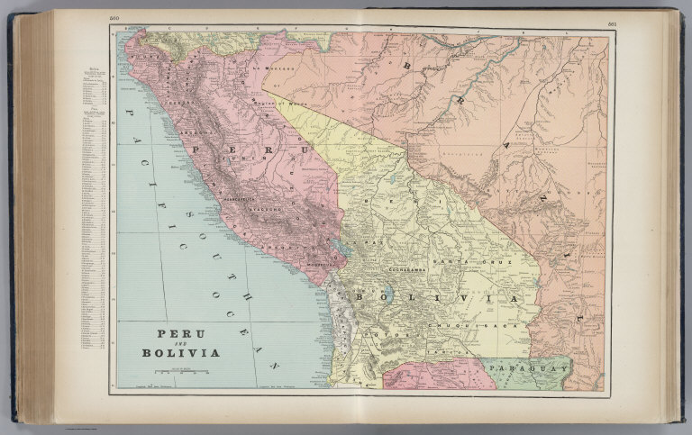
Peru and Bolivia.
Publisher:
George F. Cram
Publisher Location:
Chicago
Type:
Atlas Map
Obj Height cm:
42
Obj Width cm:
60
Scale 1:
5,549,000
Note:
Border of map has a list of cities and population, keyed to map. Relief shown by hachures. Prime meridians Washington D.C. and Greenwich.
Reference:
cf P3350 (1902).
Country:
Bolivia
Country:
Peru
Subject:
Railroad
Full Title:
Peru and Bolivia.
List No:
2809.134
Page No:
560-561
Series No:
134
Publication Author:
Cram, George Franklin
Pub Date:
1901
Pub Title:
Cram's Standard American Railway System Atlas Of The World. Accompanied with a Complete and Simple Index of the United States ... Maps Of The United States Are The Largest Scale And Clearest Print Of Any Atlas Maps Published. Foreign Maps Are Compiled Largely From Charts Of The Royal Geographical Society, And Are Geographically Correct. Published by George F. Cram, 61-63 Plymouth Place, Chicago, Ill. 130 Fulton Street, New York. 1901. (on verso) Copyright Secured By George F. Cram, 1901.
Pub Reference:
cf P3350 (1902).
Pub Note:
Some of Cram's best maps of the U.S. and world. Large number of U.S. cities mapped. Printed color.
Pub List No:
2809.000
Pub Type:
World Atlas
Pub Maps:
180
Pub Height cm:
47
Pub Width cm:
37
Image No:
2809134
Authors:
Cram, George