COLLECTION NAME:
David Rumsey Historical Map Collection
Record
Author:
Grimm, J.L.
Author:
Mahlmann, H.
Date:
1833
Short Title:
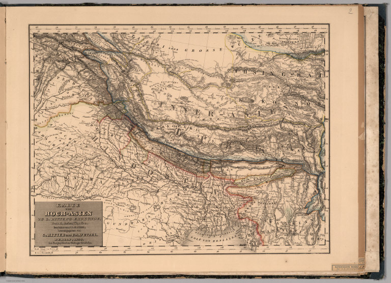
Map of High Asia.
Publisher:
G. Reimer
Publisher Location:
Berlin
Type:
Atlas Map
Obj Height cm:
37
Obj Width cm:
48
Scale 1:
6,400,000
Note:
Duplicate of previous map.
Country:
Bangladesh
Country:
Myanmar
Country:
Nepal
Country:
Tibet
Full Title:
Karte von Hoch-Asien zu C. Ritter's Erdkunde, Buch II, Asien, Th. 1 & 2. bearbeitat von J.L. Grimm, herausgegeben von C. Ritter und F.A. O'Etzel. Berlin, 1833 im Geogaphischen Verlags-Comtoir. (Map of High Asia).
List No:
7925.004
Page No:
(2)
Series No:
4
Publication Author:
Grimm, J.L.
Publication Author:
Mahlmann, H.
Pub Date:
1840
Pub Title:
Atlas von Asien in Zwanzig Blaettern, Zu C. Ritter's Allgemeiner Erdkunde, II. Abtheilung. Entworfen und bearbeitet von J.L. Grimm und H. Mahlmann, herausgegeben von C. Ritter und F.A. O'Etzel. I. Lieferung. Berlin, Verlag von G. Reimer. 1840. (Atlas of Asia).
Pub Note:
Consisting of 11 lithographic maps and 2 geologic profiles plus the following bound in parts of Carl Zimmermann's Atlas von Verder-Asien: Karte Inner Asien, 1841 (4 sectional sheets, a general plan and 2 small plates); Versuch einer Darstellung von Sued-Iran (1 map); Atlas von Palaestina und der Sinai Halbinsel, 1850 (title sheet and 15 sectional sheets). All Asian maps assembled here were published as a supplement to C. Ritter's Erdkunde. Color tinted borders. Relief shown in hachures.
Pub List No:
7925.000
Pub Type:
Regional Atlas
Pub Maps:
37
Pub Height cm:
44
Pub Width cm:
60
Image No:
7925004
Authors:
Grimm, J.L.; Mahlmann, H.