COLLECTION NAME:
David Rumsey Historical Map Collection
Record
Author:
Blackie, W.G.
Date:
1882
Short Title:
Australia and New Zealand.
Publisher:
Blackie & Son
Publisher Location:
London
Type:
Atlas Map
Obj Height cm:
36
Obj Width cm:
52
Scale 1:
14,000,000
Country:
Australia
Country:
New Zealand
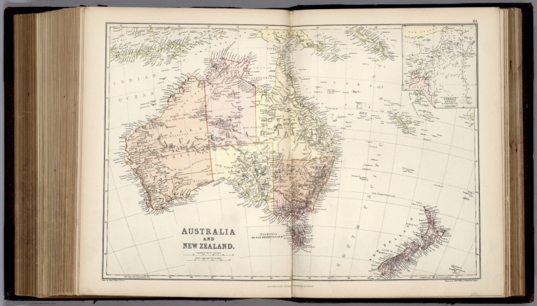
Full Title:
Australia and New Zealand. (inset) Torres Strait.
List No:
1589.084
Page No:
64
Series No:
84
Engraver or Printer:
Weller, Edwd.
Engraver or Printer:
Bartholomew, J.
Engraver or Printer:
W.D.C.
Publication Author:
Blackie, W.G.
Pub Date:
1882
Pub Title:
The Comprehensive Atlas & Geography Of The World: Comprising An Extensive Series Of Maps, A Description, Physical And Political, Of All The Countries Of The Earth; A Pronouncing Vocabulary Of Geographical Names, And A Copious Index Of Geographical Positions ... Compiled And Engraved From The Most Authentic Sources, Under The Supervision Of W.G. Blackie Ph.D., F.S.A. Scot. ... B. & S. Lucem Libris Disseminamus. London: Blackie & Son, 49 & 50 Old Bailey, E.C.; Glasgow, Edinburgh, And Dublin. 1882. (on verso) Glasgow: W.G. Blackie And Co., Printers, Villafield.
Pub Note:
The color litho maps are by Edward Weller. Ten color litho plates illustrate the races of mankind. Extensive text. Relief shown in hachures. Full color. Gilt edging on pages.
Pub List No:
1589.000
Pub Type:
World Atlas
Pub Maps:
67
Pub Height cm:
40
Pub Width cm:
33
Image No:
1589084.jp2
Authors:
Blackie, W.G.