COLLECTION NAME:
David Rumsey Historical Map Collection
Record
Author:
Jaillot, Alexis Hubert, 1632?-1712
Author:
Mortier, Pierre
Author:
Sanson, Nicolas, 1600-1667
Date:
1708
Short Title:
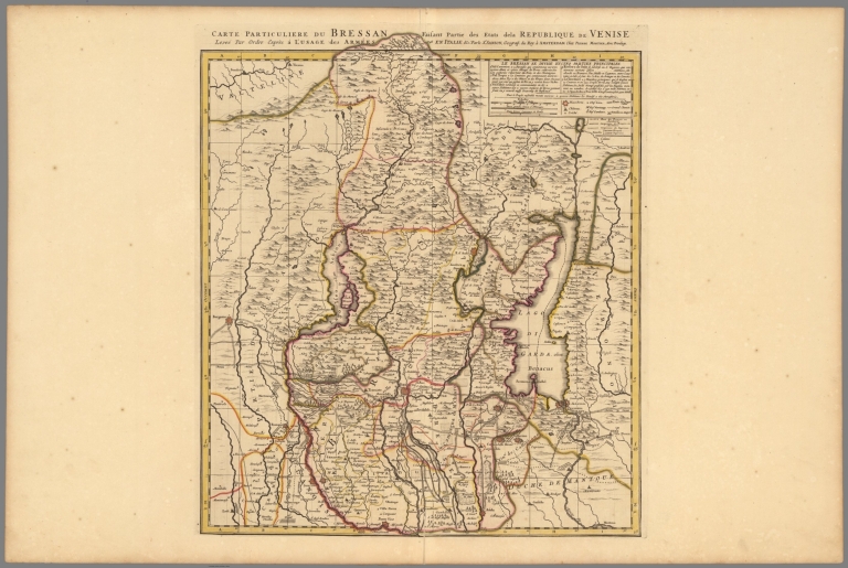
Carte Particuliere du Bressan.
Publisher:
Chez Pierre Mortier
Publisher Location:
Amsterdam,Paris
Publisher:
Chez Pierre Mortier
Publisher Location:
Amsterdam,Paris
Type:
Atlas Map
Obj Height cm:
58
Obj Width cm:
51
Scale 1:
247,000
Region:
Brescia (Italy)
Subject:
Military
Full Title:
Carte Particuliere du Bressan.
List No:
12178.172
Page No:
150
Series No:
174
Publication Author:
Jaillot, Alexis Hubert, 1632?-1712
Publication Author:
Mortier, Pierre
Pub Date:
1708
Pub Title:
Atlas Nouveau Contenant Toutes Les Parties du Monde, ou Sont exactement Remarques Les Empires, Monarchies, Royaumes, Estats, Republiques & Peuples qui fy trouuent a present. Par le Sr. Sanson, Geographe ordinaire du Roy. Presente a Monseigeur le Dauphin ... Hubert Jaillot Geographe du Roy. A Paris, Chez Hubert Jaillot ....
Pub Reference:
Koeman Mor 1; Pastoureau Jaillot I F; van Egmond pp107-110.
Pub Note:
This issue of the Mortier/Jaillot Atlas Nouveau has 169 maps (1 more than the normal count of 168) plus diagrams, text pages, decorated titles and index pages. It is noted for the large number of multi-sheet "Theatre de la Guerre" (Theater of War) maps covering the battles raging in Europe and the Americas during the Spanish War of Succession (1701-1713) and the Northern War (1700-1721). The Atlas Nouveaux was first published by Jaillot in Paris in 1681(46 maps) with later issues by him in 1684 (72 maps) and 1689 (80 maps). In 1692 Pierre Mortier published his first edition of the Jaillot atlas with 99 maps, another edition followed in 1696 with 111 maps. In 1707/1708 Mortier issued our edition with 168 maps. Later editions by Mortier expanded the atlas even further - 1708, 200 maps; ca 1721, 300 maps; ca 1735, 400 maps. The atlas maps are large folio size with most maps made of two sheets and many maps combining 4 or 6 sheets (those also issued as wall maps separately). The atlas is most impressive for its large size and number of maps as well as being up to date for its time. This copy colored in outline with relief shown pictorially.
Pub List No:
12178.000
Pub Type:
World Atlas
Pub Maps:
169
Pub Height cm:
64
Pub Width cm:
56
Image No:
12178172.jp2
Authors:
Jaillot, Alexis Hubert, 1632?-1712; Mortier, Pierre; Sanson, Nicolas (1600-1667)