COLLECTION NAME:
David Rumsey Historical Map Collection
Record
Author:
Clason, George S.
Date:
1908
Short Title:
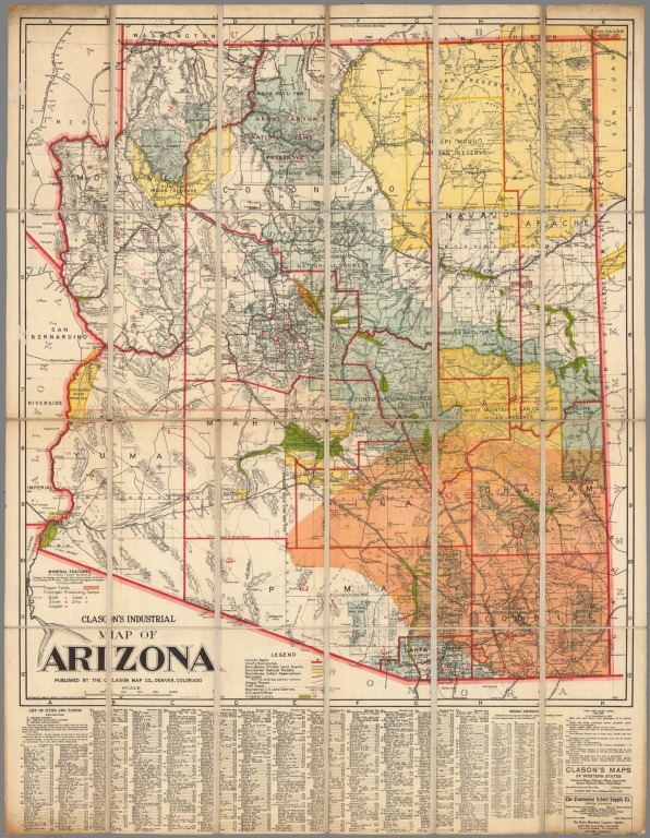
Clason's industrial map of Arizona
Publisher:
Clason Map co.
Publisher Location:
Denver, Colo.
Type:
Separate Map
Obj Height cm:
107
Obj Width cm:
83
Scale 1:
750,000
Note:
Color map of Arizona, dissected and mounted on linen, folded into brown marbled covers to 27x13. Shows mining districts, mineral features, irrigated lands, National forest, Indian reservations, county boundaries, railroads and roads. Includes legend, indexes to mineral features, list of cities and towns and fish and game laws. Relief shown by hachures.
State/Province:
Arizona
Subject:
Mining
Subject:
Industry
Full Title:
Clason's industrial map of Arizona. Published by Clason Map Co., Denver, Colorado. Copyright 1908 by Clason, George S. Mineral features by Cyrus Fisher Tolman.
List No:
13042.000
Engraver or Printer:
Tolman, Cyrus Fisher
Engraver or Printer:
Clason Map Co.
Publication Author:
Clason, George S.
Pub Date:
1908
Pub Title:
Clason's industrial map of Arizona. Published by Clason Map Co., Denver, Colorado. Copyright 1908 by Clason, George S. Mineral features by Cyrus Fisher Tolman.
Pub List No:
13042.000
Pub Type:
Separate Map
Pub Height cm:
27
Pub Width cm:
13
Image No:
13042000.jp2
Authors:
Clason, George S.
