COLLECTION NAME:
David Rumsey Historical Map Collection
Record
Author:
State Farm Insurance Companies Travel Bureau
Date:
1944
Short Title:
State Farm Road map: Delaware - Maryland - Virginia - West Virginia
Publisher:
Rand McNally
Publisher Location:
Chicago
Type:
Atlas Map
Obj Height cm:
40
Obj Width cm:
60
Scale 1:
1,140,480
Note:
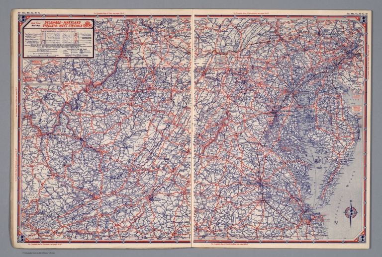
Color map. Shows roads, points of interest, distances, time zone boundaries, populations, etc. U.S. interstate and principal state highways shown in red.
Reference:
P10865
State/Province:
Delaware
State/Province:
Maryland
State/Province:
Virginia
State/Province:
West Virginia
Subject:
Automobile
Full Title:
State Farm Road map: Delaware - Maryland - Virginia - West Virginia. Copyright by Rand McNally & Company, Chicago, Ill. Lithographed in U.S.A. Z.3617. (on upper corners) Del., Md., Va., W. Va. (inset) Western Virginia.
List No:
4246.018
Page No:
30-31
Series No:
18
Publication Author:
State Farm Insurance Companies Travel Bureau
Pub Date:
1944
Pub Title:
State Farm Road Atlas United States Canada Mexico.
Pub Reference:
P10865
Pub Note:
Rand McNally published this for State Farm. "This road atlas is not for sale but is distributed exclusively through authorized State Farm Agents."
Pub List No:
4246.000
Pub Type:
National Atlas
Pub Maps:
89
Pub Height cm:
40
Pub Width cm:
30
Image No:
4246018.jp2
Authors:
State Farm Insurance Companies Travel Bureau