COLLECTION NAME:
David Rumsey Historical Map Collection
Record
Author:
W. & A.K. Johnston
Date:
1855
Short Title:
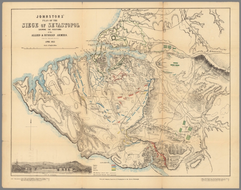
Johnstons' Plan of the siege of Sevastopol
Publisher:
W. & A.K. Johnston
Publisher Location:
Edinburgh
Type:
Case Map
Obj Height cm:
54
Obj Width cm:
69
Scale 1:
42,240
Note:
Hand color map. Showing railways, fortified places, major cities, towns and villages, roads, churches, etc. Includes explanation and notes. Relief shown by hachures. Prime meridian is Greenwich.
Country:
Ukraine
Region:
Crimea
Event:
Crimean War
Subject:
Military
Subject:
Railroad
Full Title:
Johnstons' Plan of the siege of Sevastopol : showing the positions of the Allied & Russian Armies from the Admiarlty Surveys. April 1855. -- W. & A.K. Johnston. Edinburgh. Engravers & Geographer to the Queen. (to accompany) Johnstons' atlas of the war-1855. (inset) View of Sevastopol.
List No:
8367.011
Series No:
11
Publication Author:
W. & A.K. Johnston
Pub Date:
1855
Pub Title:
Johnstons' atlas of the war. W. & A.K. Johnston. Geographer & Engravers to the Queen. 4 St. Andrew Square, Edinburgh. 1854-1855.
Pub Note:
7 color maps in slip case, on sheets 53.5x69, or 69x53.5. Each map individually titled, folded into self wrapped cover, placed into red card board slip case, 23.5x14, with manuscript list of maps. Maps showing railways, fortified places, major cities, towns and villages, principal roads, railroads, churches, etc. Includes descriptive and dated notes, statistical tables. Relief shown by hachures. Prime meridian is Greenwich. Map of Southern Russia, 1855. Danubian Principalities & Turkey 1854. Chart of the Baltic Sea, Cronstadt &c. Map of the Crimea, 1855. Map of the Black Sea 1855. Plan of the Siege of Sevastopol. Chart of the Sea of Azov. 1855.
Pub List No:
8367.000
Pub Type:
Case Map
Pub Maps:
7
Pub Height cm:
24
Pub Width cm:
14
Image No:
8367011.jp2
Authors:
W. & A.K. Johnston