COLLECTION NAME:
David Rumsey Historical Map Collection
Record
Author:
Mayer, Alexander
Date:
1876
Short Title:
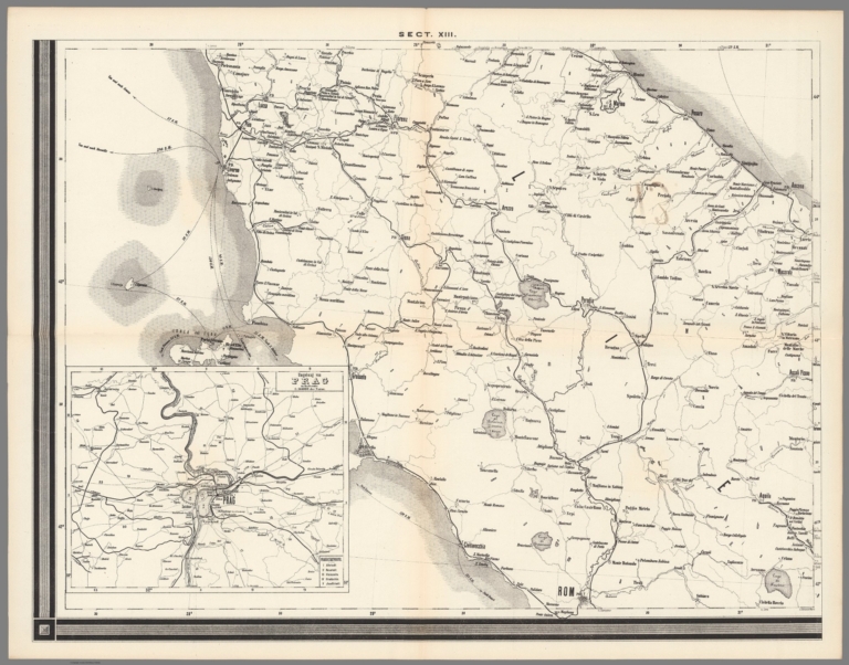
Sect. XIII. Post -und eisenbahn der Osterreichisch-Ungarischen Monarchie
Publisher:
Waldheim
Publisher Location:
Wien
Type:
Atlas Map
Obj Height cm:
52
Obj Width cm:
66
Scale 1:
576,000
Note:
Includes inset map of Prague and surroundings.
Country:
Austria
Country:
Hungary
Country:
Czech Republic
Subject:
Postal
Subject:
Railroad
Full Title:
Post- und Eisenbahn-Karte der Osterreichisch-Ungarischen Monarchie. Herausgegeben vom Post-Cours-Boureau des K.K. Handelsministeriums In XVI. Blättern, im Maasse 1: 576,000. Entworfen vom k.k. Postrathe A. Mayer. Gezeichnet von K. K. Postloffizialen Joh. Gottwald u. Jos. Broditzky. Druck u. verlag v. R. v. Walheim in Wien.
List No:
13387.015
Page No:
Sect. XIII
Series No:
15
Engraver or Printer:
Gottwald, Johann
Engraver or Printer:
Broditzky, Josef
Publication Author:
Mayer, Alexander
Pub Date:
1876
Pub Title:
Post- und Eisenbahn-Karte der Osterreichisch-Ungarischen Monarchie. Herausgegeben vom Post-Cours-Boureau des K.K. Handelsministeriums In XVI. Blättern, im Maasse 1: 576,000. Entworfen vom k.k. Postrathe A. Mayer. Gezeichnet von K. K. Postloffizialen Joh. Gottwald u. Jos. Broditzky. Druck u. verlag v. R. v. Walheim in Wien.
Pub Note:
1 outline color lithograph map on 16 folded sheets, each 52 x 66. The most extensive Postal and railway system map of the Austro-Hungarian Empire. Each sheet laid loosely in folder with ties and key sheet on the cover, with title “ Blat zur ubersicht der post -und eisenbahn der Osterreichisch-Ungarischen Monarchie”. Includes 4 insets: Umgebung von Prag. Umgebung von Wien. Übersichtskarte der K. und k. Postanstalten im Auslande und der Dampfschiff-Verbindungen des oesterr. ung. Lloyd mit dem Oriente. Published by v. R. v. Walheim in Vienna. Title from sheet 1. The map includes all of modern day Austria, Hungary, Croatia, Slovenia, Czechia, Slovakia, and large parts of Southern Poland and Western Ukraine, and part of Romania and Serbia. Shows political boundaries, major cities, roads, railroads, post offices and steamship connections. Includes index map on a single sheet, Scale bar and several statistical tables on sheet 14, legend on sheet 16.
Pub List No:
13387.000
Pub Type:
National Atlas
Pub Maps:
16
Pub Height cm:
27
Pub Width cm:
34
Image No:
13387015.jp2
Authors:
Mayer, Alexander