COLLECTION NAME:
David Rumsey Historical Map Collection
Record
Author:
Brown, R. T.
Attributed Author:
Asher, Adams & Higgins
Attributed Author:
Higgins & Ryan
Date:
1870
Short Title:
Lawrence, Jackson, Jennings, Washington, Scott, Jefferson, Harrison, Switzerland, Floyd, Clarke, Ohio counties.
Publisher:
Higgins & Ryan
Publisher Location:
Indianapolis
Type:
Atlas Map
Obj Height cm:
43
Obj Width cm:
58
Scale 1:
320,000
Note:
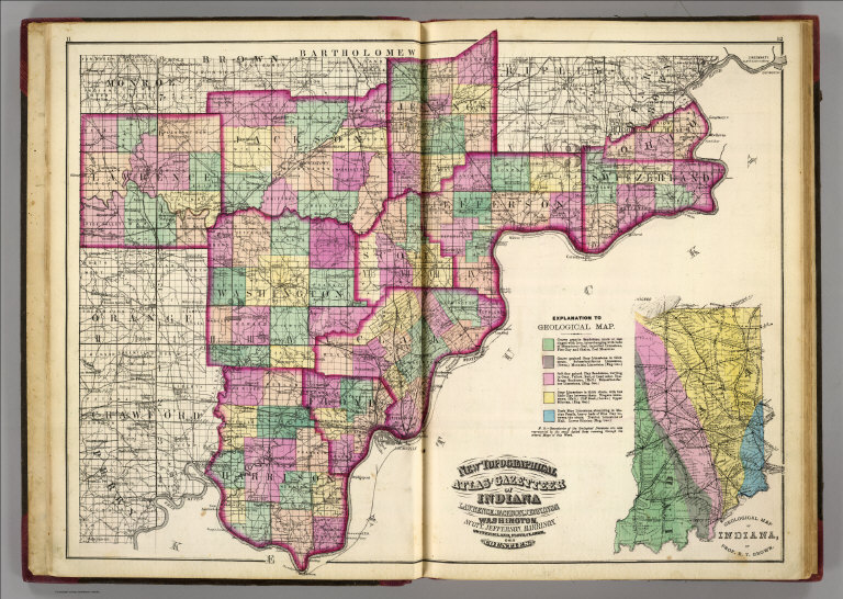
Hand colored by township. Shows settlements, roads, railroads, canals, section lines, congressional districts, etc. Includes explanation to geologic map.
State/Province:
Indiana
County:
Jackson County (Ind.)
County:
Lawrence County (Ind.)
Subject:
Geology
Full Title:
New topographical atlas and gazetteer of Indiana. Lawrence, Jackson, Jennings, Washington, Scott, Jefferson, Harrison, Switzerland, Floyd, Clarke, Ohio counties. (with) Geological map of Indiana, by Prof. R.T. Brown. (Indianapolis: Higgins & Ryan, 1870)
List No:
5478.002
Page No:
11-12
Series No:
5
Publication Author:
Asher, Adams & Higgins
Publication Author:
Higgins & Ryan
Pub Date:
1870
Pub Title:
New topographical atlas and gazetteer of Indiana: comprising a topographical view of the several counties of the state, together with a railroad map of Ohio, Indiana, and Illinois, an alphabetical gazetteer giving a concise description and the location of cities, villages, post-offices, railroad stations, landings, etc., and a brief history of Indiana. Including complete maps of the United States, Europe, and the world, drawn on the polyconic projection, expressly for this work. Compiled from the latest astronomical observations, official surveys and records of the United States and territories, and the several states, as well as from counties, towns, and personal observations. Engraved on copper-plate, and lithographed from original drawings. Indianapolis: Higgins & Ryan. (verso) Entered, according to act of Congress, in the year one thousand eight hundred and seventy, by Asher, Adams & Higgins in the office of the Librarian of Congress, at Washington, D.C.
Pub Reference:
U.S. Atlases, 4489; cf. Karrow, 3-1571.
Pub Note:
See note field above.
Pub List No:
5478.000
Pub Type:
State Atlas
Pub Maps:
12
Pub Height cm:
46
Pub Width cm:
33
Image No:
5478002
Authors:
Brown, R. T.; Asher, Adams & Higgins; Higgins & Ryan
Collection:
Rumsey Collection