COLLECTION NAME:
David Rumsey Historical Map Collection
Record
Author:
Birdseye, C.H.
Author:
Burchard, R.W.
Author:
U.S. Geological Survey
Date:
1924
Short Title:
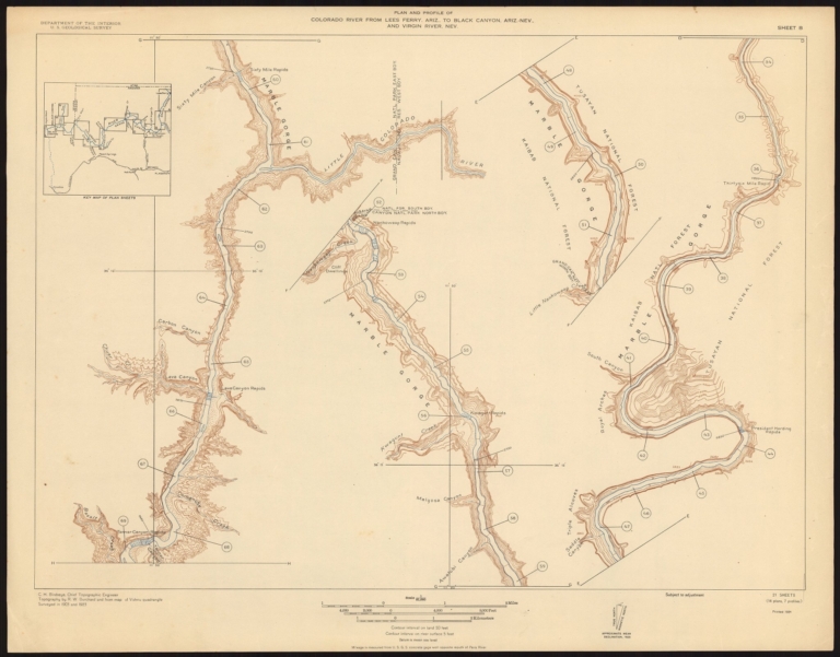
Sheet B. Plan and Profile of Colorado River From Lees Ferry, Ariz., To Black Canyon, Ariz.-Nev., and Virgin River, Nev. 21 Sheets (14 plans, 7 profiles).
Publisher:
U.S. Geological Survey
Publisher Location:
Washington D.C.
Type:
Separate Map
Obj Height cm:
53
Obj Width cm:
68
Scale 1:
31,680
State/Province:
Arizona
State/Province:
Nevada
Region:
Colorado River (Ariz.-Nev.)
Subject:
Rivers
Full Title:
Sheet B. Plan and Profile of Colorado River From Lees Ferry, Ariz., To Black Canyon, Ariz.-Nev., and Virgin River, Nev. 21 Sheets (14 plans, 7 profiles).
List No:
10974.003
Series No:
3
Publication Author:
Birdseye, C.H.
Publication Author:
Burchard, R.W.
Publication Author:
U.S. Geological Survey
Pub Date:
1924
Pub Title:
Plan and Profile of Colorado River From Lees Ferry, Ariz., To Black Canyon, Ariz.-Nev., and Virgin River, Nev. 21 Sheets (14 plans, 7 profiles).
Pub Note:
The maps identify 25 possible dam sites along the Colorado River, including Boulder Dam site which was eventually built in 1931. "This survey and two others were completed by the USGS between 1902 and 1923 to collect data on the Colorado River. With this 1923 survey and those completed in 1902-03 and 1921 a total of 63 plans and profiles were created and published in a series of three volumes. This set of maps surveys the area from Lees Ferry, Arizona to Black Canyon, Arizona- evada and Virgin River, evada (through the Grand Canyon) and is the most well-known. Led by the Chief Topographic Engineer for the USGS, Claude H. Birdseye, the 1923 expedition was essentially the last big government exploratory trip on the Colorado River. As with other trips, much of the impetus came from interests in "taming" the river for human use, including dams and water diversion projects. With Emery Kolb as lead boatman, the crew spent several months completing a survey in the late summer and early fall of 1923. Early in the trip, they lost a boat lining at Soap Creek Rapids. President Harding Rapid was named in honor of the late president, whose poisoning was related over the radio. During the trip, heavy rains caused the river to rise 21 feet. Camped below Lava Falls, the party had to line their boats to a wider beach. ot wanting to chance the river at such a high level, they waited for waters to subside before heading downstream. As such, the crew arrived at Diamond Creek nearly a week later than expected, and many news sources had presumed them lost. Throughout their adventures, the crew still managed to complete the survey and ended up with only a 5-foot difference from a previous survey that had started upstream from Black Canyon. As the sport ofriver running grew, these maps were used by early boaters in navigation and are still used as a basis for river maps we use today " (Back of Beyond Books, 2021)
Pub List No:
10974.000
Pub Type:
Separate Map
Pub Height cm:
53
Pub Width cm:
68
Image No:
10974003.jp2
Authors:
Birdseye, C.H.; Burchard, R.W. ; U.S. Geological Survey
