COLLECTION NAME:
David Rumsey Historical Map Collection
Record
Author:
14th Photo Section. United States Army
Date:
1918
Short Title:
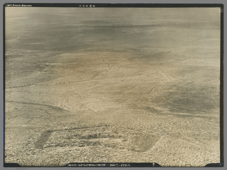
141481 - Ft. Douaumont - 332.5 - 272.0
Publisher:
United States Army
Publisher Location:
Washington, D.C.
Type:
Aerial Photograph
Obj Height cm:
18
Obj Width cm:
24
Note:
Fort Douaumont (French: Fort de Douaumont) was the largest and highest fort on the ring of 19 large defensive works which had protected the city of Verdun, France since the 1890s. By 1915, the French General Staff had concluded that even the best-protected forts of Verdun could not resist bombardments from the German 420 mm (16.5 in) Gamma guns. These new super-heavy howitzers had easily taken several large Belgian forts out of action in August 1914. Fort Douaumont and other Verdun forts were judged ineffective and had been partly disarmed and left virtually undefended since 1915. On 25 February 1916, Fort Douaumont was entered and occupied without a fight by a small German raiding party comprising only 19 officers and 79 men. The easy fall of Fort Douaumont, only three days after the beginning of the Battle of Verdun, shocked the French Army. It set the stage for the rest of a battle which lasted nine months, at enormous human cost. Douaumont was finally recaptured by three infantry divisions of the Second Army, during the First Offensive Battle of Verdun on 24 October 1916. This event brought closure to the battle in 1916.(Wikipedia)
City:
Fleury-devant-Douaumont (France)
Event:
World War I
Subject:
Military
Full Title:
141481 - Ft. Douaumont - 332.5 - 272.0
List No:
10589.036
Page No:
141481
Series No:
36
Publication Author:
14th Photo Section. United States Army
Pub Date:
1918
Pub Title:
(Aerial Balloon Photographs. 14th Photo Section)
Pub Note:
Aerial Balloon Photographs -14th Photo Section. France: 1916-1918. A collection of 357 gelatin silver print photographs measuring 7" x 9.5", most with captions in the margins. Curled edges, a very few with small tears, overall very good or better. An archive of United States Army aerial photographs documenting the Western Front during World War I by the 14th Photo Section, 1st Army. The photographs depict over 24 French and Belgium cities, many of which were located along the border of Imperial Germany. Seen throughout the photos are the landscape of the Western Front, rivers, villages, and vast areas of countryside which include the ruins of towns which saw a significant amount of action. One photo shows a long line of tents which belong to a G.RS. camp (Graves Registration Service. The U.S. began their reconnaissance towards the end of the war using a combination of airplane and balloons reconnaissance. Balloon were typically tethered above the battlefield and manned with several observers who could communicate with the ground with signals or through telegraphy. It was dangerous work with the balloon crew at risk from enemy airplanes and incendiary shells. Many of the photography here are marked in the upper left corner of the print "14th Photo Section," as well as along the bottom edge with the number, location, and (we assume) coordinates of the balloon of the images. With the increasing sophistication of airplane photography, balloon reconnaissance was phased out altogether following the war. An extensive accumulation of images documenting the end of aerial balloon photography. (From dealer catalog)
Pub List No:
10589.000
Pub Type:
Aerial Photograph
Pub Maps:
357
Pub Height cm:
18
Pub Width cm:
24
Image No:
10589036.jp2
Authors:
14th Photo Section. United States Army