COLLECTION NAME:
David Rumsey Historical Map Collection
Record
Author:
Vallardi, Francesco
Date:
1895
Short Title:
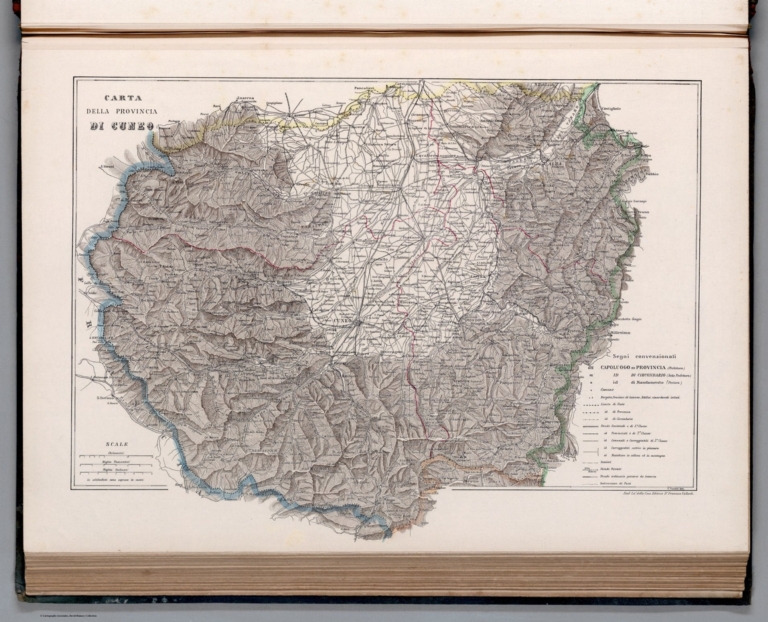
Carta della Provincia di Cuneo.
Publisher:
Casa Editrice Dottor Francesco Vallardi
Publisher Location:
Milan
Type:
Atlas Map
Obj Height cm:
38
Obj Width cm:
51
Scale 1:
260,000
Note:
Political map of the province of Cuneo, Italy. Features political boundaries, cities, railways, roads, topography, bodies of water and drainage. Relief shown with hachures. Includes a legend and three bar scales. Colored engraving. Map is 38 x 51 cm, on sheet 42 x 60 cm. Within section entitled Italia Settentrionale : Piemonte e Liguria.
Region:
Cuneo (Italy)
Subject:
Political
Full Title:
Carta della Provincia di Cuneo. Stabo. Lito. della Casa Editrice Dr. Francesco Vallardi. C. Conalbi inc.
List No:
14396.021
Series No:
21
Engraver or Printer:
Conalbi, C.
Publication Author:
Vallardi, Francesco
Pub Date:
1895
Pub Title:
Atlante oro-idrografico corografico e storico dell'Italia. Casa Editrice Dottor Francesco Vallardi, Corso Magenta, 48. Milano ... Alessandria d'Egitto.
Pub Note:
Atlante oro-idrografico corografico e storico dell'Italia, published by Casa Editrice Dottor Francesco Vallardi in Milan, circa 1895. National atlas of Italy. Title translates to: Chorographic, orographic, hydrographic and historical atlas of Italy. Bound in green board with leather spine. Gilded title on front cover and gilded ornamentation on spine. Debossed floral decoration on front cover. Slip cover in green linen with red patterned end papers. Collation: [4] pages, 89 leaves of plates (mostly double). Atlas comprised of 93 maps on 89 sheets. Volume begins with several profile views of the Alps in Italy. Maps feature topography, hydrography, political boundaries and history. Historical maps represent ancient Italy, the Holy Roman Empire, the time of the Lombards, the Saxon and Frank Emperors up to the Mohensaufen (962-1138), the Swabians (1138-1234), as well as the periods of 1270 to 1450 and 1600-1700, the reign of Napoleon (1810), and the era following the Vienna treaties (1815-1859). In addition, maps show cities, railways, roads, topography, bodies of water, drainage, coastline and islands. Some maps appear on multiple, consecutive sheets, which are shown here in the form of both the single sheets and composites creating the full maps. Colored engravings. Date for atlas estimated based upon the latest date that appears in the volume - from the imprint for the map entitled Carte della Provincia di Perugia e partie di Quelle Confinanti.
Pub List No:
14396.000
Pub Type:
National Atlas
Pub Maps:
93
Pub Height cm:
62
Pub Width cm:
48
Image No:
14396021.jp2
Authors:
Vallardi, Francesco