COLLECTION NAME:
David Rumsey Historical Map Collection
Record
Author:
Philip, George, 1870-1937.
Author:
Shawe, William
Date:
1910
Short Title:
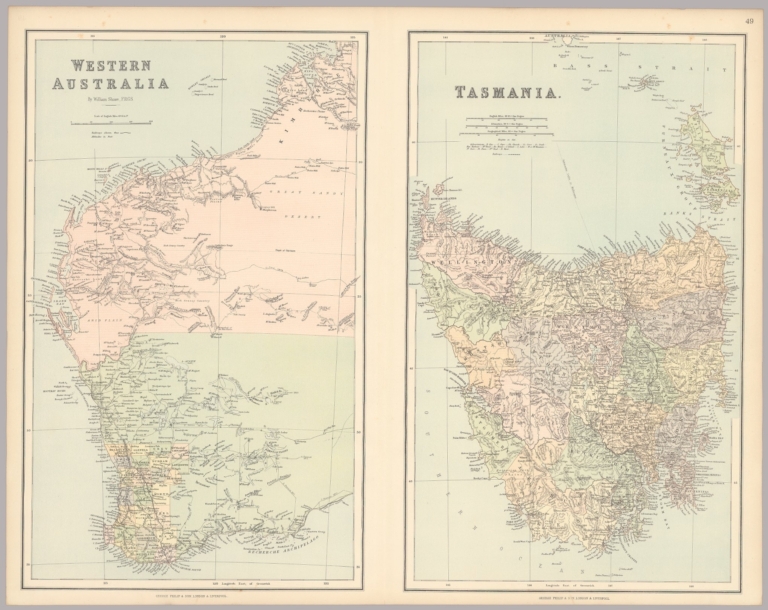
Western Australia. Tasmania.
Publisher:
George Philip & Son Ltd.
Publisher Location:
London
Type:
Atlas Map
Obj Height cm:
51
Obj Width cm:
64
Scale 1:
4,500,000; 1,100,000
Note:
Two maps on one sheet.
Country:
Australia
Region:
Tasmania (Australia)
Region:
Western Australia
Full Title:
Western Australia. Tasmania.
List No:
15487.152
Page No:
49
Series No:
152
Publication Author:
Philip, George, 1870-1937.
Pub Date:
1910
Pub Title:
Philips' General Atlas of the World.
Pub Reference:
George Philip (1800-1882) was a Scottish geographer and map publisher who established the cartographic firm known as George Philip & Son. The company was based in London and played a significant role in the production and distribution of maps, atlases, and geographical publications during the 19th and early 20th centuries. George Philip's maps were renowned for their accuracy and attention to detail. He was one of the first publishers to use lithography for map production, which allowed for mass production and the inclusion of intricate details. His maps covered various regions of the world, including Europe, the British Isles, and the British Empire. The London Geographical Institute was a part of and successor to George Philip & Son Ltd
Pub Note:
Published at the London Geographical Institute, part of the Philips publishing enterprise.
Pub List No:
15487.000
Pub Type:
World Atlas
Pub Maps:
50
Pub Height cm:
55
Pub Width cm:
38
Image No:
15487152.jp2
Authors:
Philip, George, 1870-1937.; Shawe, William