COLLECTION NAME:
David Rumsey Historical Map Collection
Record
Author:
Bacler d'Albe, Louis-Albert-Ghislain, 1761-1824
Date:
1802
Short Title:
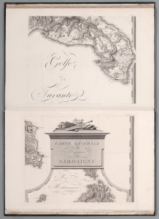
Feuille No. 9 (with) Feuille No. 16 Carte Générale des Royaumes de Naples, Sicile & Sardaigne
Publisher:
Chez l'Auteur, Directeur du dépot de la Guerre
Publisher Location:
Paris
Type:
Atlas Map
Obj Height cm:
51
Obj Width cm:
65
Scale 1:
254,000
Note:
Feuille 16 includes top third of Carte Generale du Royaume Sardaigne
Country:
Italy
Region:
Kingdom of Naples
Region:
Sardinia (Italy)
Subject:
Military
Full Title:
Feuille No. 9 (with) Feuille No. 16 Carte Générale des Royaumes de Naples, Sicile & Sardaigne
List No:
15716.032
Series No:
32
Publication Author:
Bacler d'Albe, Louis-Albert-Ghislain, 1761-1824
Pub Date:
1802
Pub Title:
Carte Générale du théâtre de la guerre en Italie et dans les Alpes...(Premier Partie) A Paris Chez L'Auteur (en trente feullies) (with) Carte Générale des Royaumes de Naples, Sicile & Sardaigne : ainsi que des Iles de Malte & de Goze Formant la Seconde Partie de la Carte Gle. du Theatre de la Guerre en Italie & Dans les Alpes.
Pub Reference:
OCLC Number / Unique Identifier: 1035766151
Pub Note:
This is the second expanded edition of Bacler D'Able's map of the war in Italy, adding a second part with 24 sheets of the Kingdom of Naples, as well as updates to the first part. See our 15622.000 and 15623.000 for the first edition in 30 sheets. "Bacler d'Albe is considered one of the best cartographers of his time Gunner like Bonaparte at the siege of Toulon in 1793, he is one of the oldest companions of the Emperor. He remained Head of Napoleon's personal topographical cabinet from 1799 to 1814, and was one of the few names mentioned in the Emperor's will written in Saint Helena in 1821. Army of Italy, Bacler d'Albe served in Nice in 1794 and 1795 and in Italy in 1796 as an officer geographer draftsman. Bonaparte. commissioned him to survey the plans of the coast from Nice to Savona and to give lessons in the drawing of fortifications. In 1797 he began to draw a map of the Peninsula, the engraving of which he took on his own” (Tulard).His Map overview of the theater of war in Italy and the Alps is one of the first homogeneous maps of the peninsula." (F. Teissèdre, 2023)
Pub List No:
15716.000
Pub Type:
National Atlas
Pub Maps:
54
Pub Height cm:
91
Pub Width cm:
62
Image No:
15716032.jp2
Authors:
Bacler d'Albe, Louis-Albert-Ghislain, 1761-1824