COLLECTION NAME:
David Rumsey Historical Map Collection
Record
Author:
La Perouse, Jean-Francois de Galaup, comte de, 1741-1788
Date:
1799
Short Title:
Easter Island.
Publisher:
G.G. & J. Robinson.
Publisher Location:
London
Type:
Atlas Map
Obj Height cm:
39
Obj Width cm:
50
Note:
Engraved. Relief shown by hachures. Roads/trails, cultivated areas (paper mulberry), soundings, and rocks shown.
Reference:
P693.
Country:
Chile
Region:
Easter Island
Full Title:
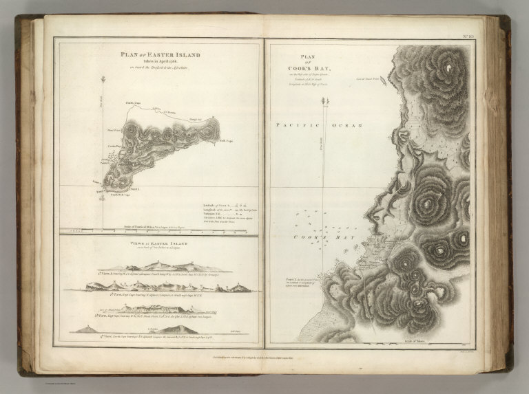
(Two maps and one view). Plan of Easter Island, taken in April 1786, on Board the Boussole & the Astrolabe. Views of Easter Island on a Scale of two Inches to a League. Plan of Cook's Bay on the West Side of Easter Island .... Published as the Act directs Novr. 1st 1798, by G.G. & J. Robinson, Pater-noster Row. Heath Sculpt. No. 10.
List No:
0414.010
Page No:
10
Series No:
14
Engraver or Printer:
Neele, sculp.
Publication Author:
La Perouse, Jean-Francois de Galaup, comte de, 1741-1788
Pub Date:
1799
Pub Title:
Charts And Plates To La Perouse's Voyage. Published as the Act directs Novr. 1st 1798, by G.G. & J. Robinson, Pater-noster Row. (title page only) J.M. Moreau Junr. delt. Heath Sculpt.
Pub Reference:
P693.
Pub Note:
1st English edition. The large foldout map of the world is hand painted with outline color; all other maps are without color.
Pub List No:
0414.000
Pub Type:
Exploration Book
Pub Height cm:
44
Pub Width cm:
29
Image No:
0414010
Authors:
La Perouse, Jean-Francois de Galaup, comte de, 1741-1788
Collection:
Rumsey Collection