COLLECTION NAME:
David Rumsey Historical Map Collection
Record
Author:
Survey of India Department
Date:
1895
Short Title:
Text: Chapter XVIII. Emigration (2).
Publisher:
India. Superintendent of Government Printing
Publisher Location:
Calcutta
Type:
Text Page
Type:
Atlas Map
Obj Height cm:
34
Obj Width cm:
43
Note:
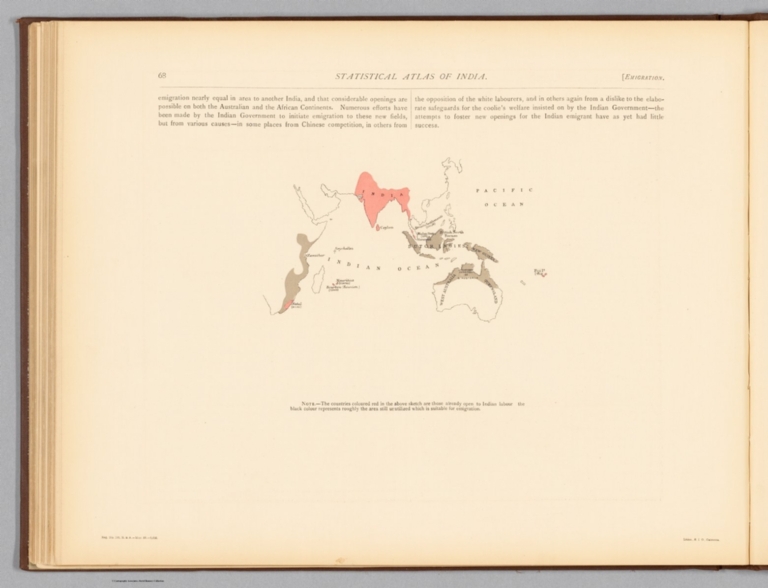
Chapter eighteen - "Emigration" - in Statistical atlas of India. Second of two pages. Includes a colored lithographed map showing the greater vicinity beyond India, from East Africa to Australia, and far away as Fiji (Reg. No. 192, R. & A. Dept. - Mar. 95 - 2,016. Litho., S. I. O., Calcutta). Corresponding map follows text.
Country:
India
Country:
Australia
Region:
Africa, East
Region:
Oceania
Full Title:
(Text Page to) Chapter XVIII. Emigration (2).
List No:
14252.077
Page No:
68
Series No:
77
Engraver or Printer:
India. Superintendent of Government Printing
Publication Author:
Survey of India Department
Pub Date:
1895
Pub Title:
Statistical atlas of India. (Second edition, 1895.) Calcutta: Printed by the Superintendent of Government Printing, India. Maps by the Survey of India Department, 1895.
Pub Note:
Statistical atlas of India (second edition) by the Survey of India Department, published in 1895 by the Superintendent of Government Printing, India. Collation: [74] pages, [35] plates with 51 individual maps and 30 individual diagrams. Maps and diagrams illustrate a variety of data described in nineteen chapters. Topics include topography, geology, vegetation, agriculture, commerce, culture, education, migration, and political boundaries, including the distinction between British provinces and native states within India. Maps appear in color and were created by lithographic, zincographic and photolithographic printing processes.
Pub List No:
14252.000
Pub Type:
National Atlas
Pub Type:
Statistical Atlas
Pub Maps:
35
Pub Height cm:
35
Pub Width cm:
45
Image No:
14252077.jp2
Authors:
Survey of India Department
