COLLECTION NAME:
David Rumsey Historical Map Collection
Record
Author:
Delarochette, Louis Stanislas d'Arcy
Date:
1790
Short Title:
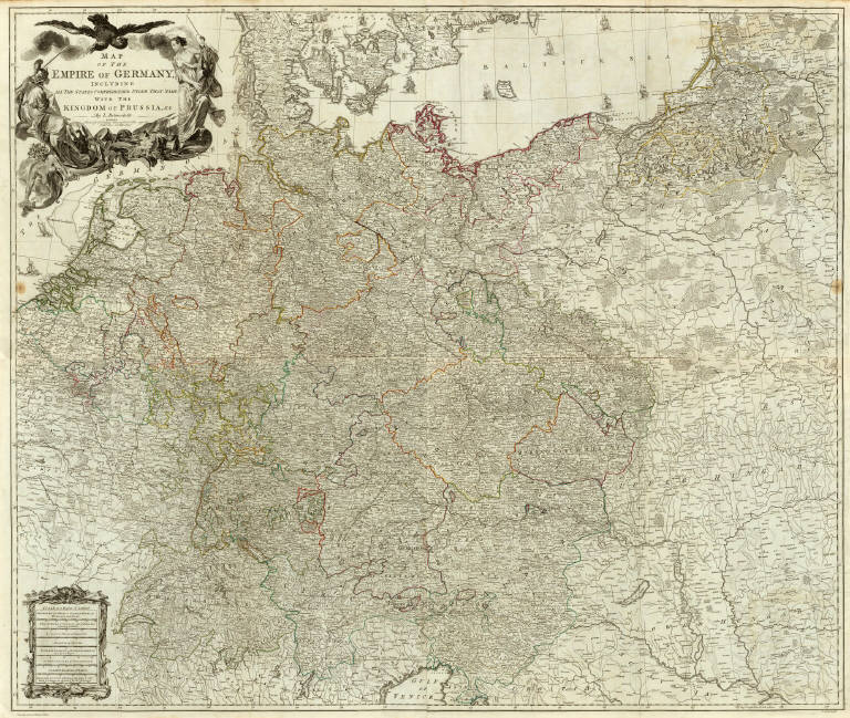
Map of the Empire of Germany.
Publisher:
Robert Sayer
Publisher Location:
London
Type:
Composite Map
Obj Height cm:
104
Obj Width cm:
122
Scale 1:
1,250,000
Note:
Engraved map in outline color. Printed on 4 sheets. Shows vegetation, banks, etc. Relief shown pictorially. Prime meridian: Ferro. Ornamental title cartouche. David Rumsey Collection copy mounted as 2 sheets; portions of sheet titles in upper margin of lower sheets missing.
Reference:
P4300.
World Area:
Europe
Country:
Austria
Country:
Germany
Region:
Europe, Central
Full Title:
(Composite of) Map of the Empire of Germany, including all the states comprehended under that name: with the Kingdom of Prussia, &c. By L. Delarochette. T. Kitchin, sculpt. London, printed for Robt. Sayer, Map & Print Seller, opposite Fetter Lane in Fleet Street, (1790?)
List No:
0411.024
Page No:
17-18
Series No:
26
Engraver or Printer:
Kitchin, Thomas
Publication Author:
Kitchin, Thomas
Pub Date:
1790
Pub Title:
A general atlas, describing the whole universe: being a complete collection of the most approved maps extant; corrected with the greatest care, and augmented from the latest discoveries. The whole being an improvement of the maps of D'Anville and Robert. Engraved in the best manner on sixty-two copper-plates, by Thomas Kitchin, Senior, and Others. London: printed For Robert Sayer, no. 53, Fleet-Street, (1790).
Pub Reference:
P4300.
Pub Note:
Late issue. Many of the maps are double sheet. This atlas was later expanded to become the New Universal Atlas (see David Rumsey Collection copy). Some of these maps also appeared in the American Atlas by Jefferys. There are actually 23 large maps, on 35 connected sheets, produced from 62 copper plates. Maps are hand painted with outline and full color and bound in half leather tan marbled paper covered boards with "General Atlas" stamped in gold on the spine. Inscription inside front cover in pen-and-ink: R. Sayer pub, 53 Fleet ... 8th, 1791 ...
Pub List No:
0411.000
Pub Type:
World Atlas
Pub Maps:
35
Pub Height cm:
55
Pub Width cm:
41
Image No:
0411024
Authors:
Delarochette, Louis Stanislas d'Arcy
Collection:
Rumsey Collection
Map of the Empire of Germany.