COLLECTION NAME:
David Rumsey Historical Map Collection
Record
Author:
Wheeler, G.M.
Date:
1882
Short Title:
69. Parts Of Southern Colorado And Northern New Mexico.
Publisher:
U.S.
Publisher Location:
Washington
Type:
Atlas Map
Obj Height cm:
45
Obj Width cm:
51
Scale 1:
506,880
Note:
In hachures with gray under-tint.
Reference:
P1281-120.
State/Province:
Colorado
State/Province:
New Mexico
Full Title:
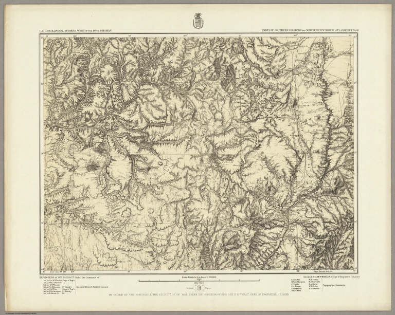
Parts Of Southern Colorado And Northern New Mexico. Atlas Sheet No. 69. Issued June 30th 1882. Weyss, Nell and Rock, Del. Expeditions of 1873, 74, 75 & 77. Under the Command of 1st. Lieut. Geo. M. Wheeler, Corps of Engineers, U.S. Army. Executive Officers & Field Astronomers: Geo. M. Wheeler, Wm. L. Marshall, C.W. Whipple, C.C. Morrison, P.M. Price, W.L. Carpenter and R. Birnie, Jr. Topographical Assistants: Louis Nell, Gilbert Thompson, J.C. Spiller, F.O. Maxson, F. Carpenter, Anton Karl, W.A. Cowles, R.J. Ainsworth, F.A. Clark, W.H. Rowe, and E.J. Sommer. U.S. Geographical Surveys West Of The 100th Meridian.
List No:
2738.070
Series No:
77
Engraver or Printer:
Birnie, R. Jr.
Engraver or Printer:
Carpenter, F.
Engraver or Printer:
Carpenter, W.L.
Engraver or Printer:
Marshall, Wm. L.
Engraver or Printer:
Maxson, F.O.
Engraver or Printer:
Morrison, C.C.
Engraver or Printer:
Nell, Louis
Engraver or Printer:
Price, P.M.
Engraver or Printer:
Spiller, J.C.
Engraver or Printer:
Thompson, Gilbert
Engraver or Printer:
Weyss, Nell & Rock
Engraver or Printer:
Whipple, C.W.
Publication Author:
Wheeler, G.M.
Pub Date:
1876
Pub Title:
Topographical Atlas Projected To Illustrate United States Geographical Surveys West Of The 100th Meridian Of Longitude Prosecuted In Accordance With Acts Of Congress Under The Authority Of The Honorable The Secretary Of War, And The Direction Of Brig. Genl. A.A. Humphreys, Chief Of Engineers, U.S. Army. Embracing Results Of the Different Expeditions Under The Command Of 1st Lieut. Geo. M. Wheeler, Corps Of Engineers. Julius Bien, lith. (with) Geological Atlas Projected To Illustrate Geographical Explorations And Surveys West Of The 100th Meridian Of Longitude ... Julius Bien, lith. (1876-1881)
Pub Reference:
P1281.
Pub Note:
A collection of 135 Topographical, Land Classification, and Geological Atlas sheets. An almost complete collection of all the Wheeler survey maps originally owned by the Salt Lake Mining Institute. I have since added maps to make it nearly a complete set, following the listing in P1281 (which lists 179 sheets, many of which are duplicates of sheets with minor variations). Many of the sheets in the original Salt Lake Mining Institute set have the signature of Ovando Hollister, an important figure in western mining history.
Pub List No:
2738.000
Pub Type:
National Atlas
Pub Maps:
112
Pub Height cm:
49
Pub Width cm:
61
Image No:
2738070
Authors:
Wheeler, G.M.
Collection:
Rumsey Collection