- Featured Maps
- February 25, 2010
Cartouches, or Decorative Map Titles
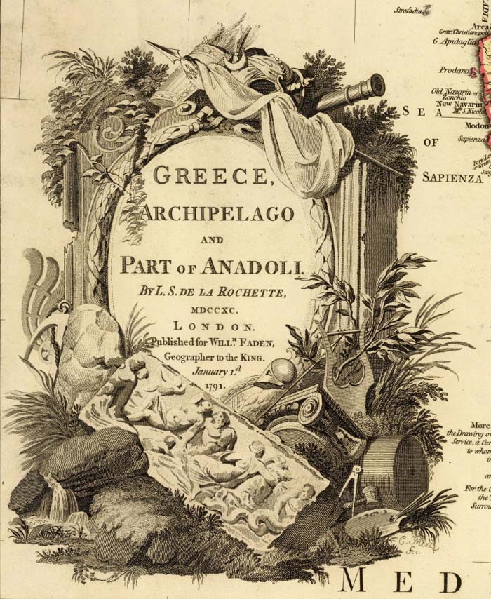
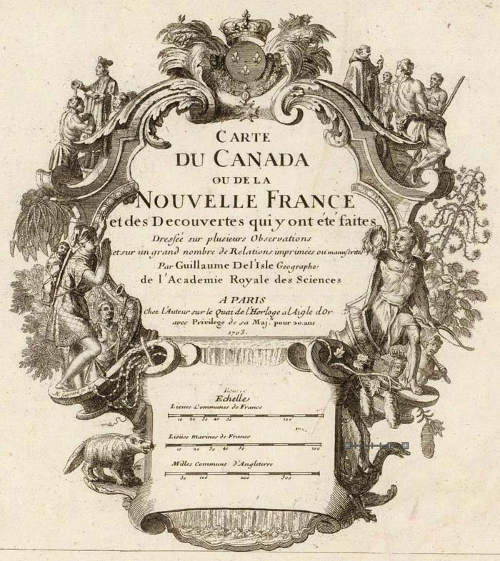
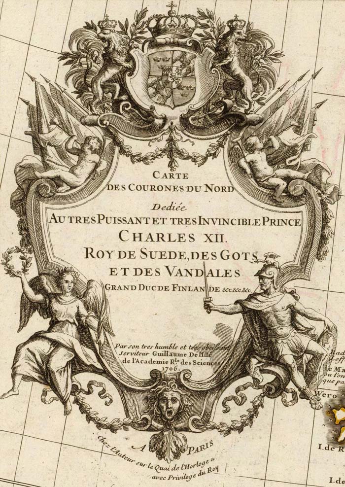
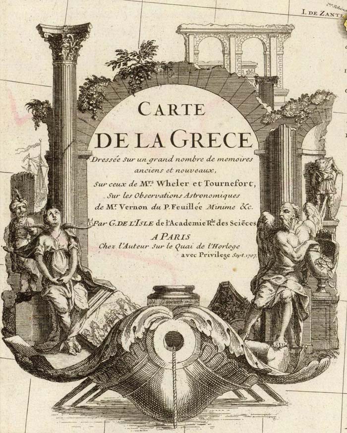
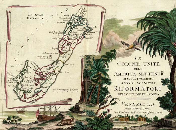
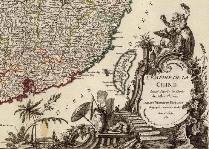
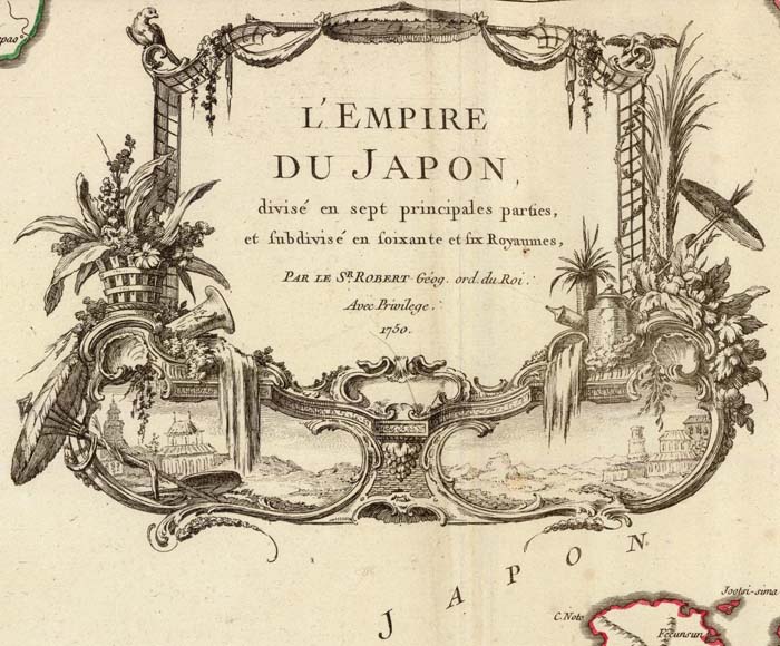
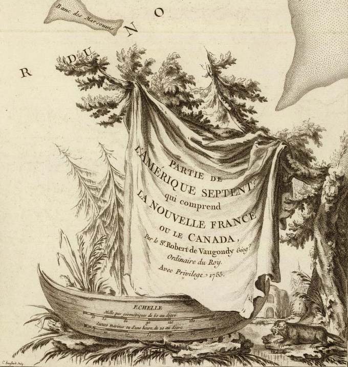
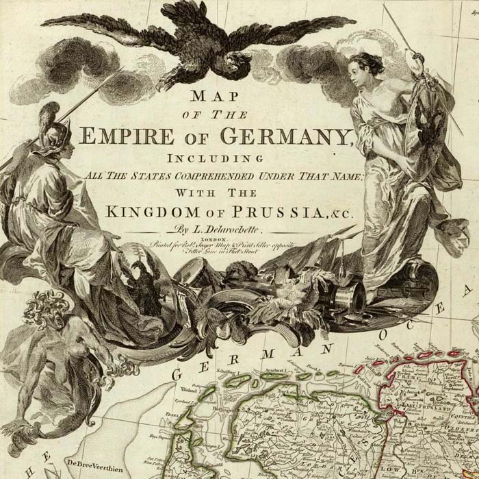
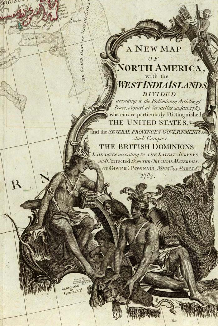
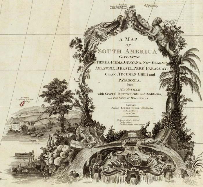
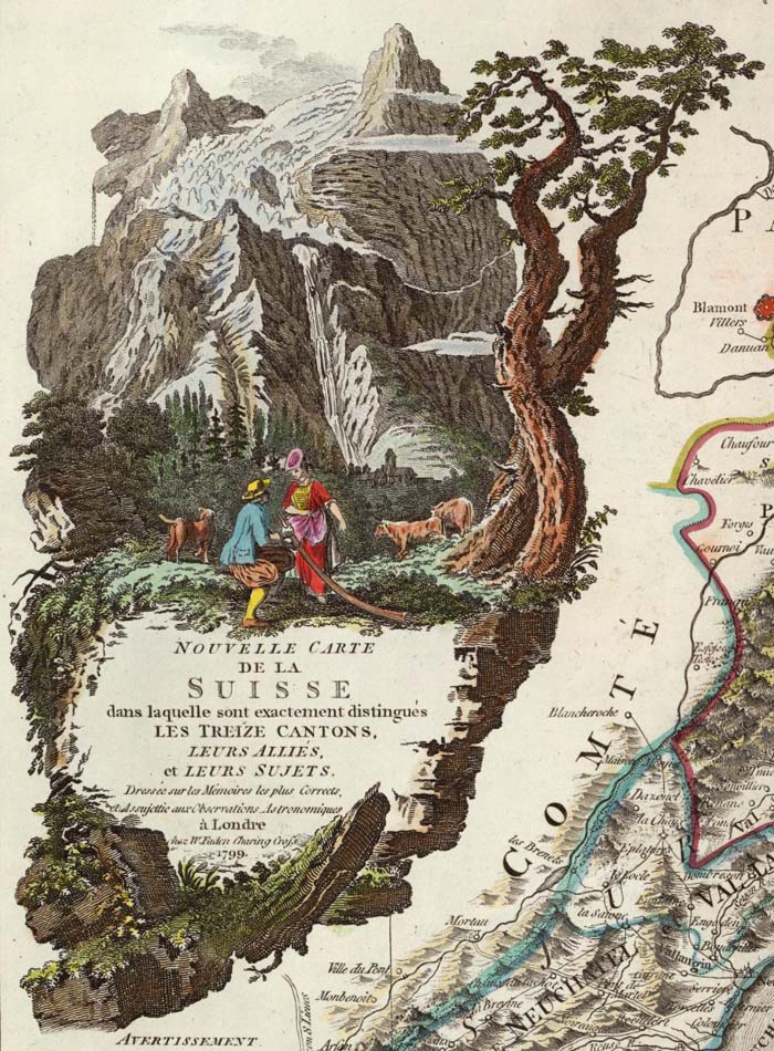
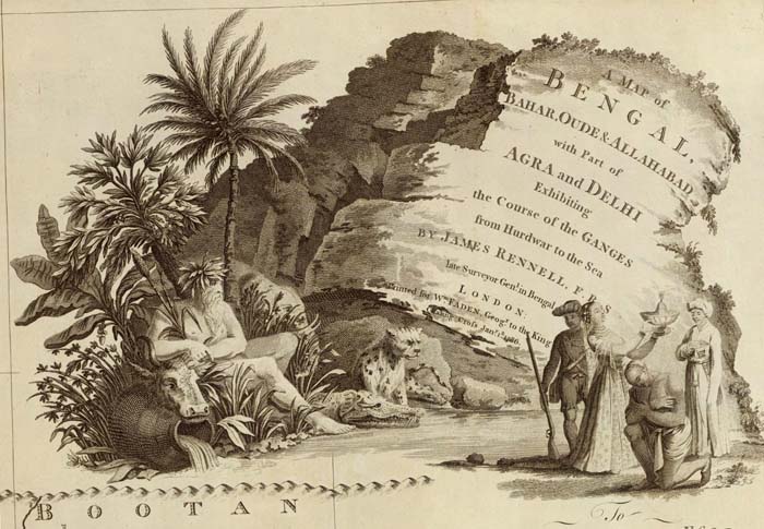
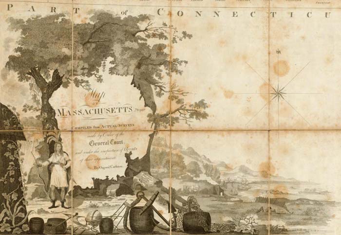
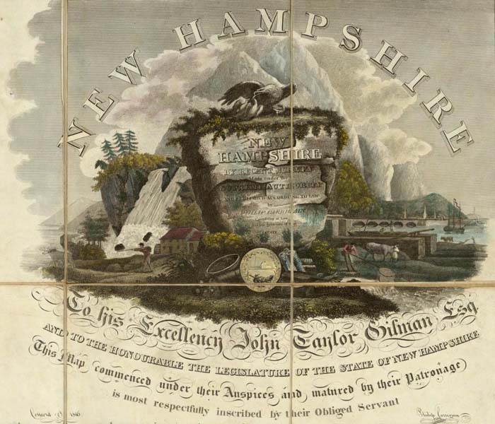
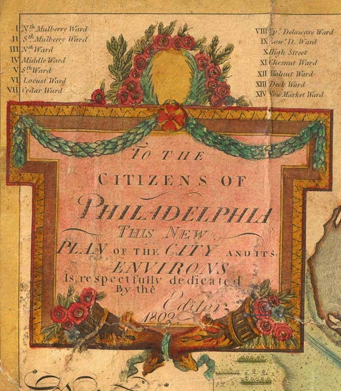
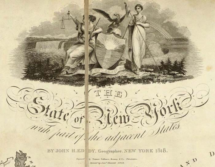
Cartouches are the elaborate decorations that frame map titles and other information about the map. They add an artistic or symbolic narrative to the maps they describe. According to map historian Edward Lynam, cartouches that frame titles first appear on Italian maps in the 16th century. They persist on maps until the middle of the 19th century, going through many stylistic changes. Below are selected cartouches from maps in our collection, beginning in 1703 and ending in 1852. The cartouche styles in this 150 year period are remarkable for their diversity, symbolism, social commentary, and artistic beauty. Many of the cartouches appear to have iconographic meanings that may be lost to us today. Others are just wildly ornate, attempting to give the map they introduce a more arresting aspect. 50 cartouches are shown below; click on any of the images to see the larger maps that the cartouches embellish.
This first group of three cartouches are from Guillaume de Lisle's World Atlas of 1731:
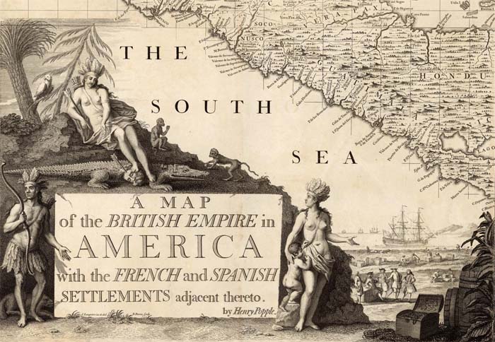
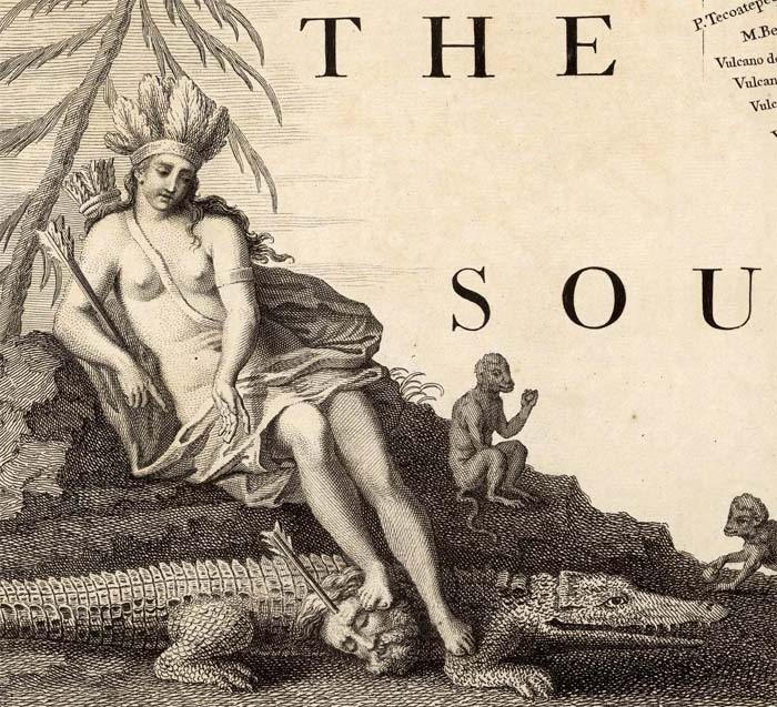
Henry Popple's 1733 atlas Map of the British Empire in America features a cartouche remarkable for its mysterious symbolism, including a severed head of a (we assume European) man with an arrow sticking into it:
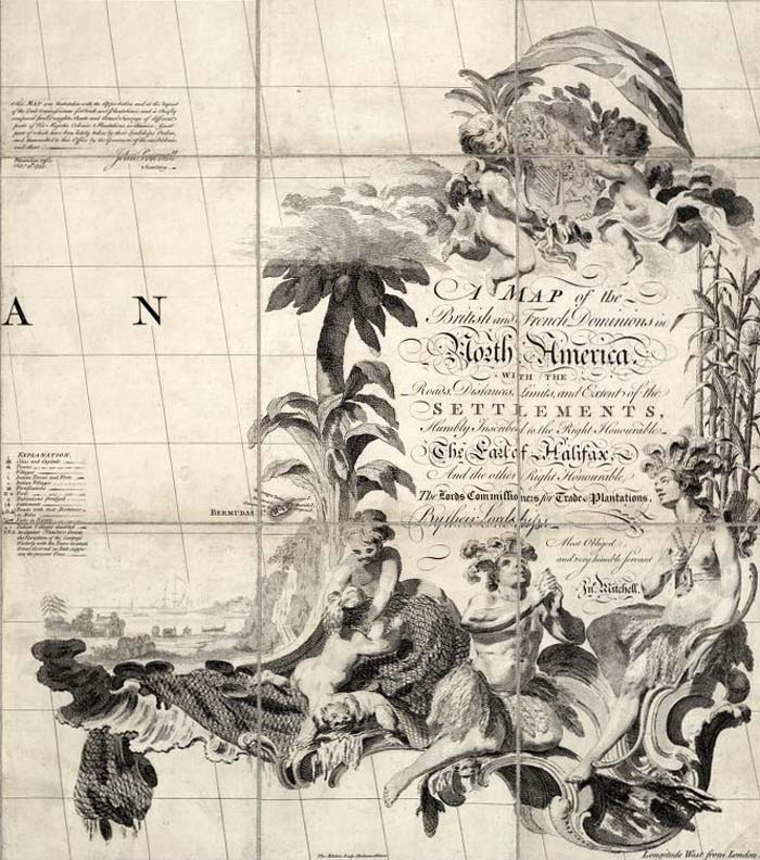
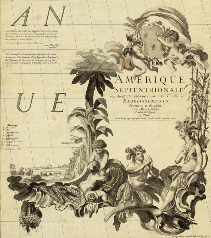
The large, ornate cartouche of John Mitchell's Map of the British and French Dominions in North America is shown below in the London edition, the Paris edition by Le Rouge, and the derivative Italian edition by Zatta:
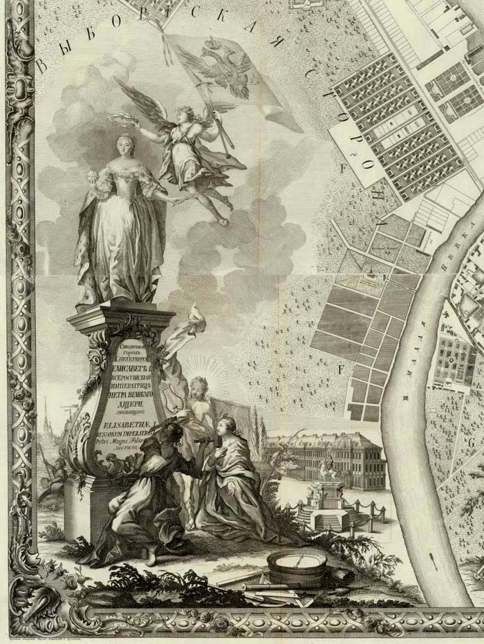
Here is the elegant map cartouche of the immense, nine sheet Plan of St. Petersburg 1753, with a depiction of and dedication to the Empress Elizabeth of Russia:
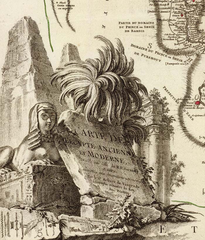
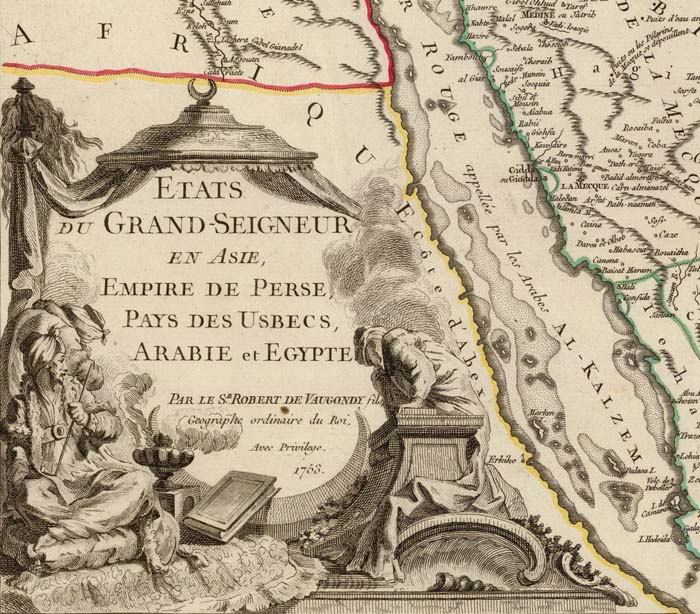
Five imaginative and artistic map cartouches from the Atlas Universel by Didier and Gilles Robert de Vaugondy, 1757:
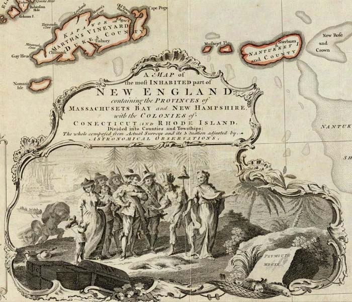
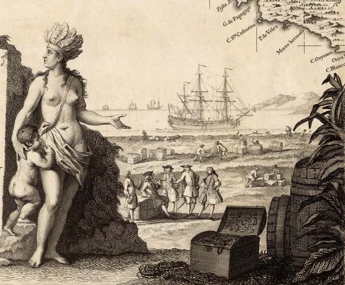
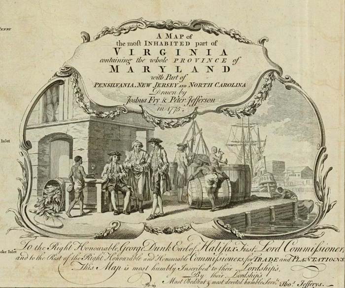
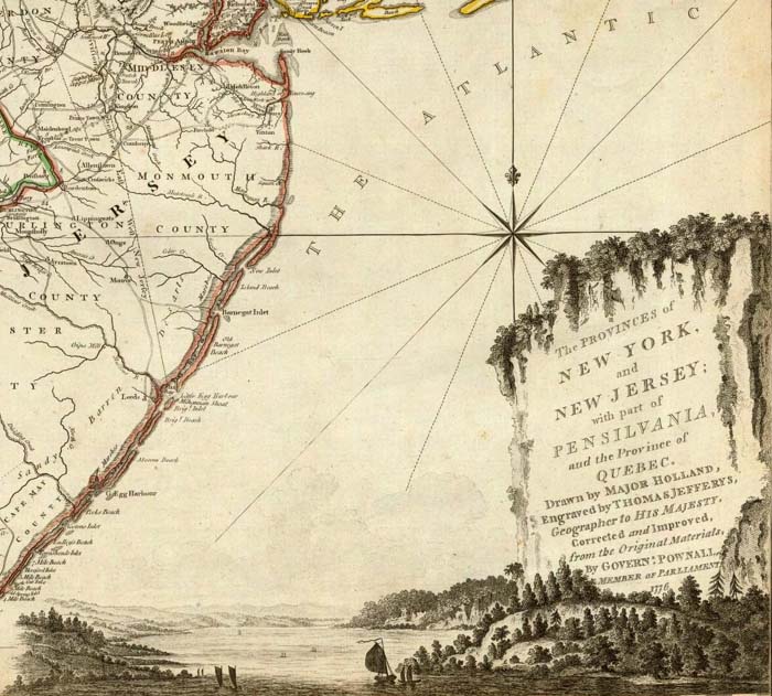
Thomas Jefferys used cartouches showing scenes of commerce and landscape in many of the maps in his American Atlas, published after his death by Sayer and Bennet in 1776, three of which are shown below:
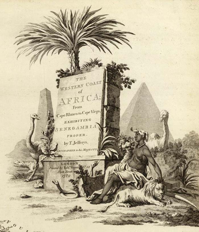
Some of Thomas Jefferys' maps were also published posthumously by Kitchin, Laurie and Whittle in their New Universal Atlas of 1787, including this map of the Western Coast of Africa (derived from a French map by D'Anville) with a cartouche full of various African themes:
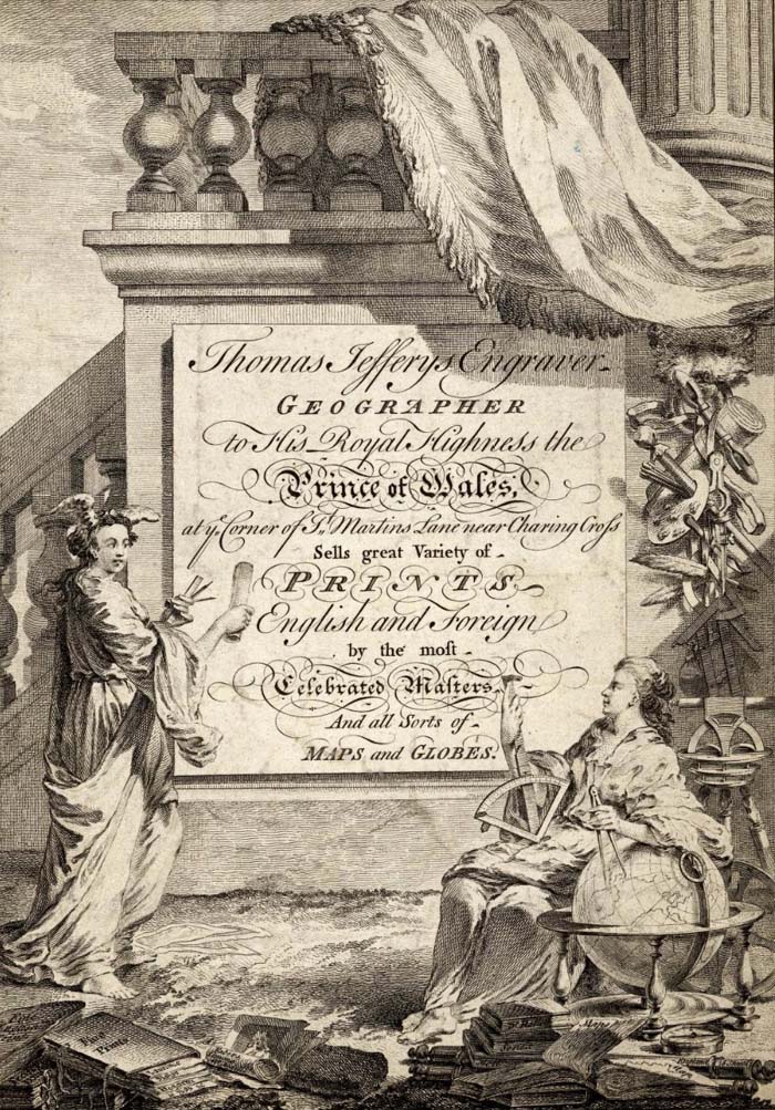
Even Thomas Jefferys' trade-card was in the form of an elaborate cartouche:
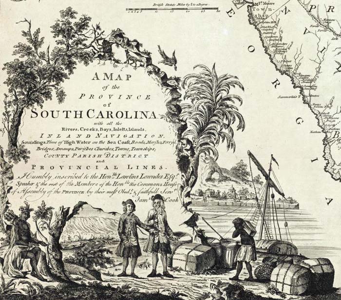
James Cook's 1773 map of South Carolina has a cartouche that follows Jefferys' themes of colonial enterprise, nature, and indigenous peoples:
The four cartouches below using engraved Baroque style frames are from maps in Thomas Kitchin's General Atlas of 1790:
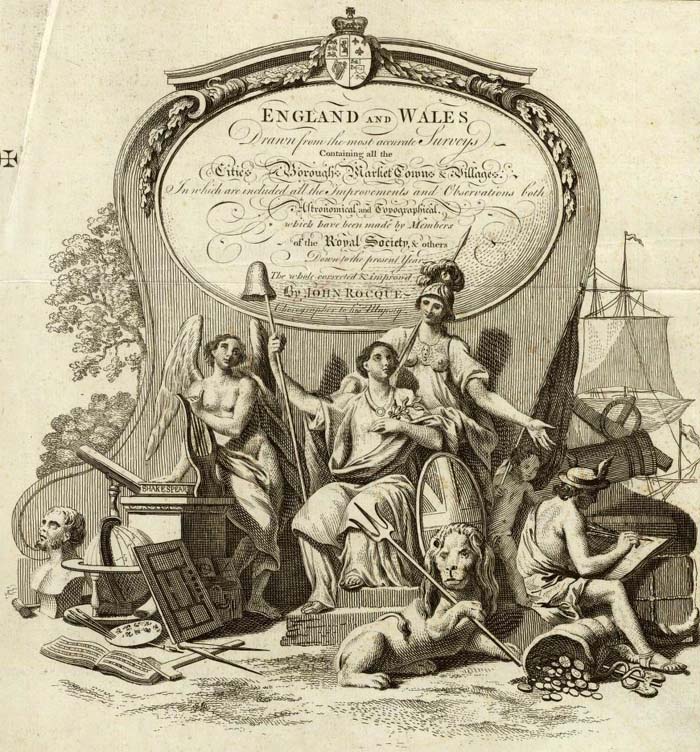
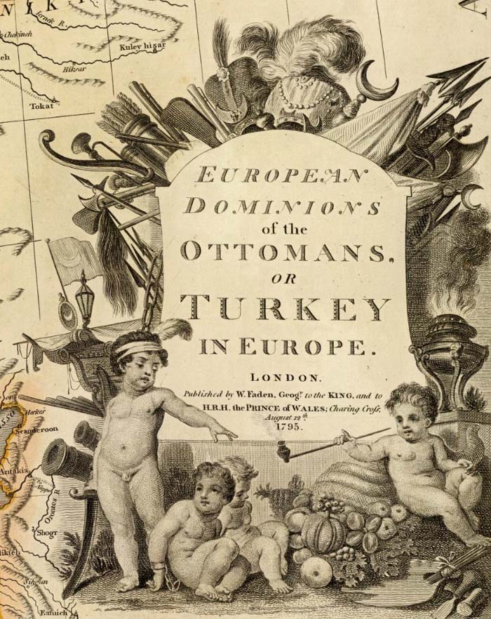
William Faden's General Atlas of 1811 included the four map cartouches below, placing titles in buildings, on mountains and rocks, and adding humorous elements (as on the map of Turkey in Europe):
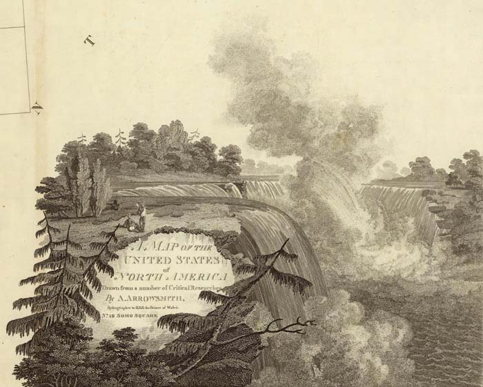
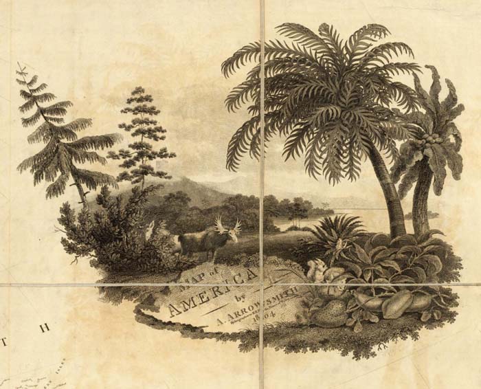
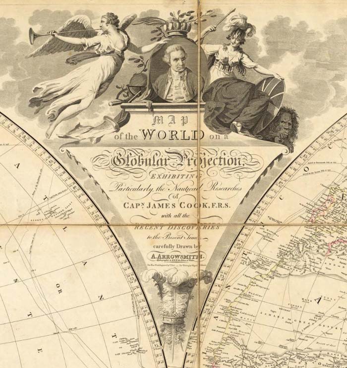
Aaron Arrowsmith, London map publisher, used cartouches on many of his wall maps, including depictions of Niagara Falls, the tropics, and portraits of explorer Captain James Cook:
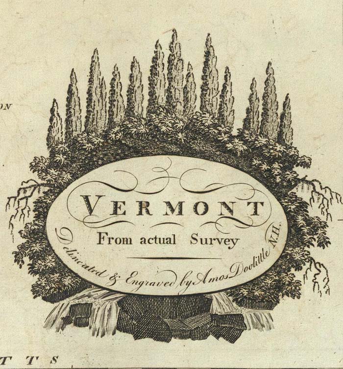
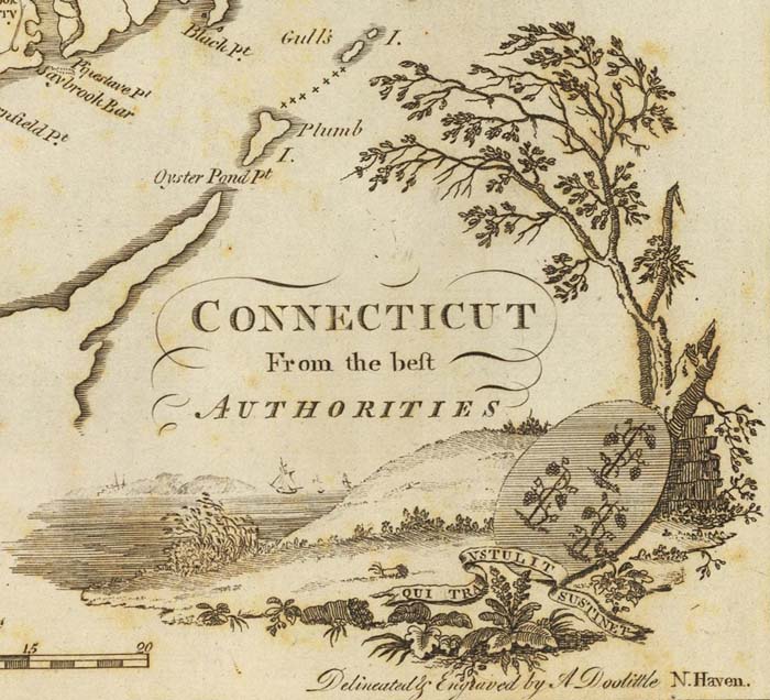
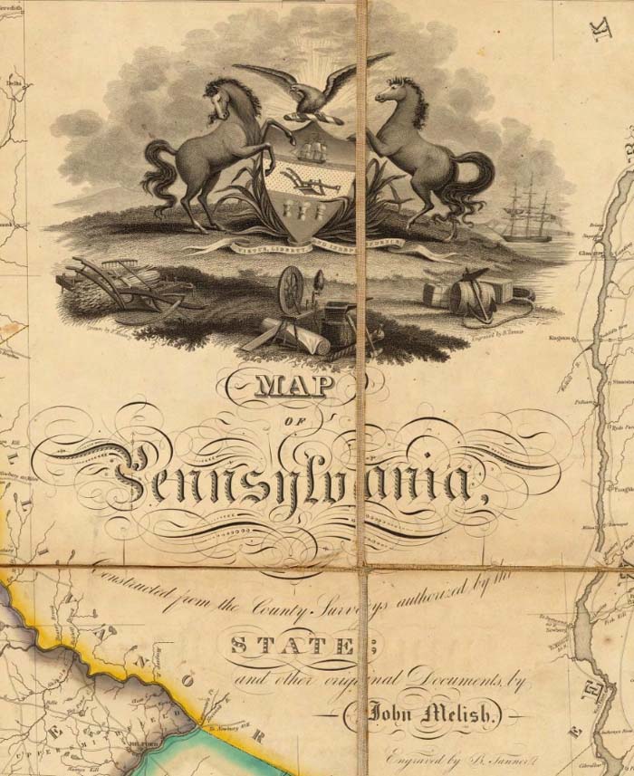
American map publishers used modest cartouches starting in the late 18th century and gradually developed more elaborate ones in the first half of the 19th century:
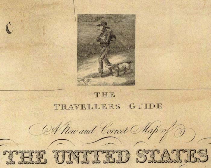
Samuel Lewis' simple illustration of a traveler with his dog form the title cartouche for his 1819 map of the United States:
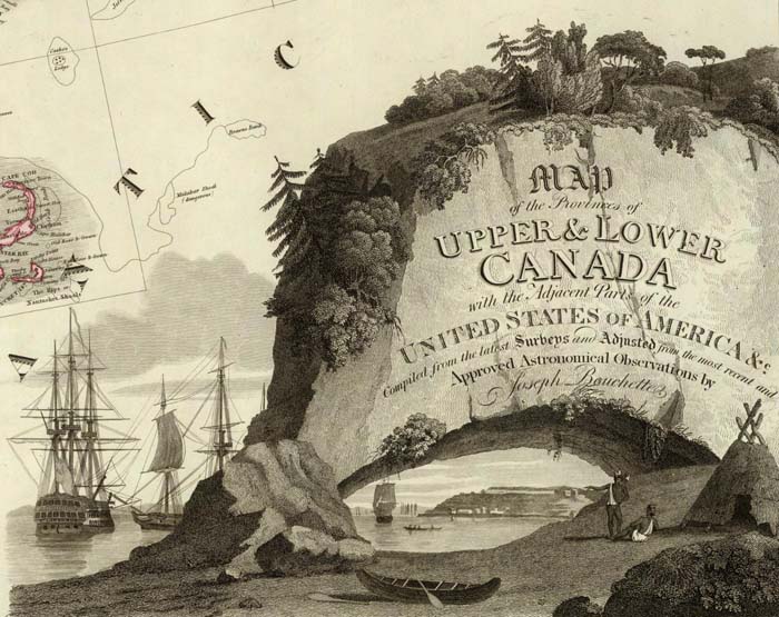
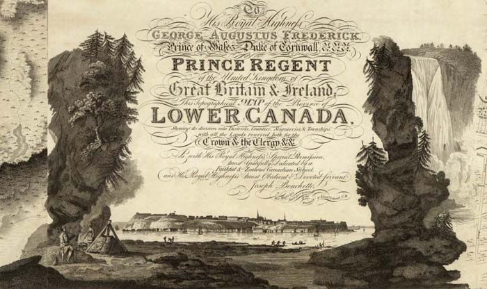
Joseph Bouchette's maps of Canada were surveyed and drawn by him in Canada, but printed in London by William Faden. The cartouches for two of the maps below are extremely ornate, probably reflecting the influence of Faden:
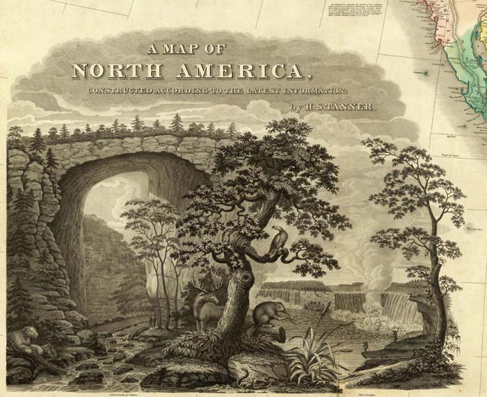
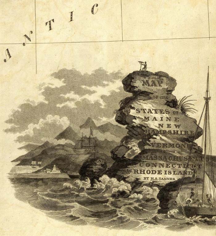
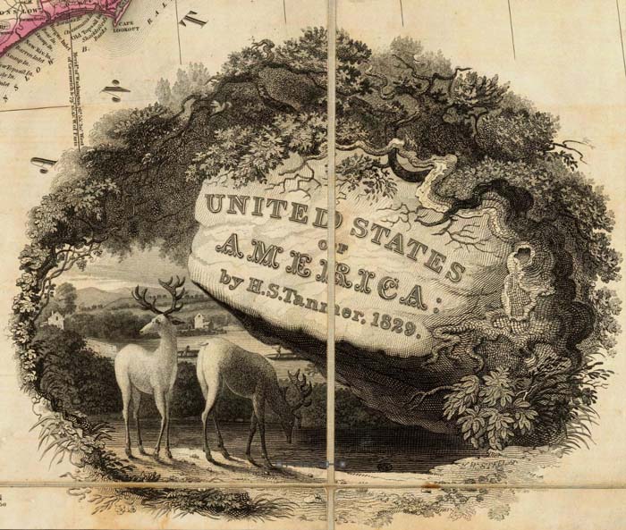
Philadelphia map publisher Henry Tanner used scenes of the American landscape in his panoramic cartouches for his maps of North America, New England, and the United States:
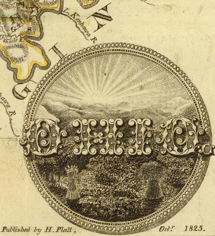
Smaller, independent American map publishers produced some interesting variations. This pocket map of Ohio by Columbus, Ohio map publisher Hiram Platt has an unusual cartouche:
S.A. Mitchell and James H. Young of Philadelphia used landscape and commerce as the themes for this cartouche:
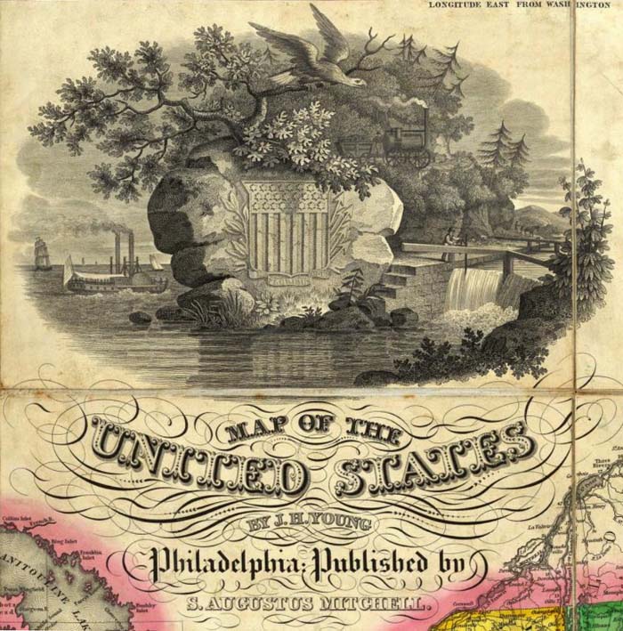
Even American school atlas maps had cartouches, as shown in this map from Thomas Smiley's Atlas of 1842:
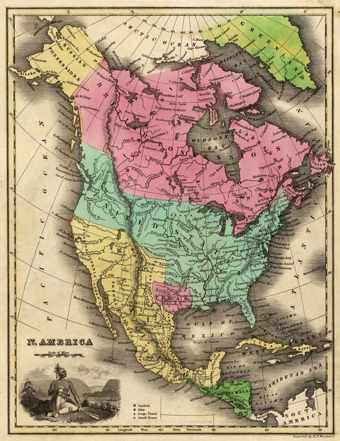
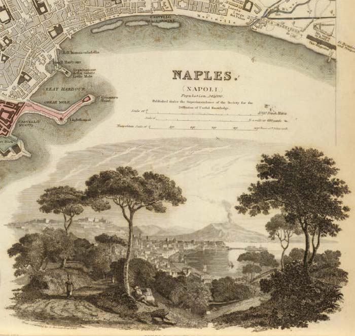
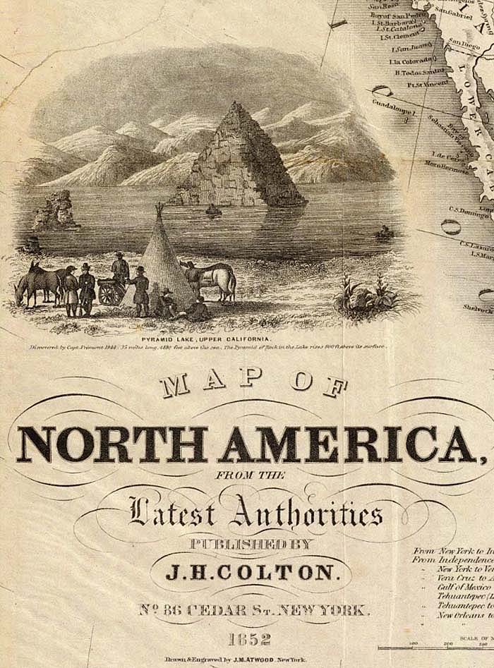
By the middle of the 19th century, map cartouches were incorporating actual views of cities or landscapes into the maps to add decoration to the titles, as in this map of Naples, Italy and the one below it of North America:
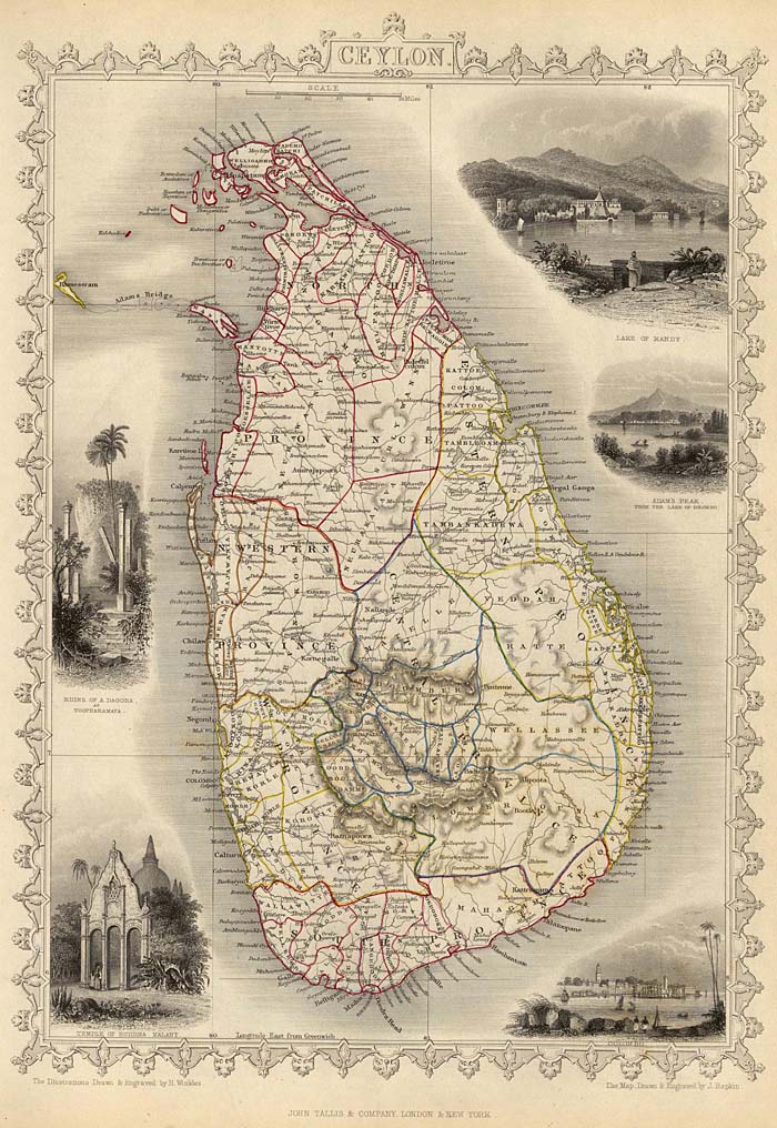
The use of views to embellish maps largely replaced decorative cartouches after 1850. In a sense, the illustrated cartouche now wraps the entire map, not just the title. Three examples are shown below, the first from the Illustrated Atlas of 1851 by Martin and Tallis:
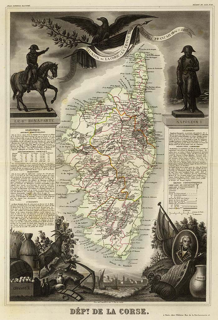
An even more ornate example of map illustration is this map from Levasseur's Atlas National Illustre des 86 Departments et des Possessions De La France from 1856:
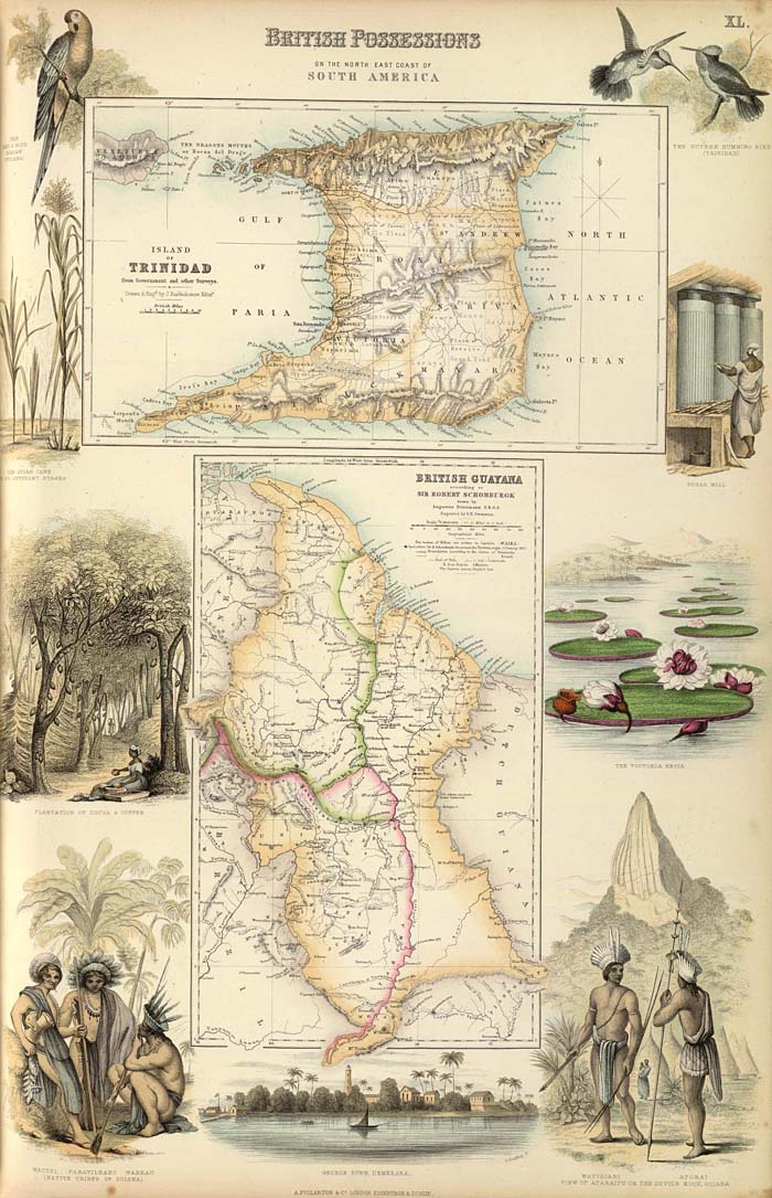
The final example of the use of views is this map from Fullarton's Royal Illustrated Atlas of 1872, one of the last of the decorative atlases published in the 19th century:
This entire group of cartouches and the maps they are taken from can be seen as a slide-show or as a group. For further reading, especially on the early period of map cartouches from the 16th and 17th centuries, see Edward Lynam's discussion of cartouches in his 1953 Mapmaker's Art (PDF).
12 Comments on Cartouches, or Decorative Map Titles
Awesome job! Great stuff, thanks!
Thank you so much for this – I now understand what a cartouche is and how it can transform the map! Great post!
A fascinating collection, and a great help wth some research I was doing. Thank you for sharing these.
How stunning… works of art in their own right. Thank you for sharing these gems!
I really think these are too complicated....I'm supposed to use these for my art class, and I could, like, NEVER EVER figure it out. Please simplify them and make some for kids/tweens. Thanks!
Vielen Dank! Wunderschönes Material.
太感谢了!祝您身体健康 事事顺利
More!!
Spectacular effort, great assortment of amazing images of bygone days. Thank you !
Grosso!
I’m trying to identify a metal “fitting” that is used in various cartouche by Mercator, Oretilius, Speed, etc. It references scrolls with curled decorative extensions, it is often round with trefoil extensions. INDIA ORIENTALIST has several versions.
BelissÃmos!!!! Bravo!!!!