- News
- June 1, 2003
MAPPING AMERICA - Treasures from David Rumsey Historical Map Collection on Display at the San Francisco International Airport June 2003 - January 2004
A selection of over one hundred rare and unique maps from the David Rumsey Historical Map Collection are on display through January 2004 at the San Francisco International Airport. The exhibit explores themes of mapping exploration, settlement, travel, geology, navigation, military campaigns, railroads, and cities. Read an article in Spatial News about the exhibit.
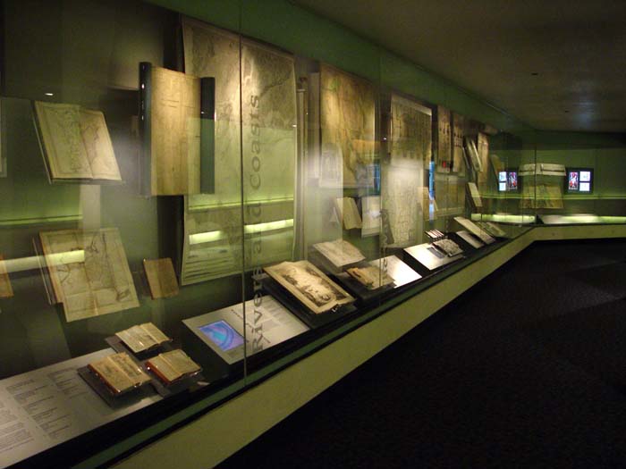
A view of part of the exhibit installation along the corridor between Terminals 1 and 2 at the San Francisco Airport.
 |
|
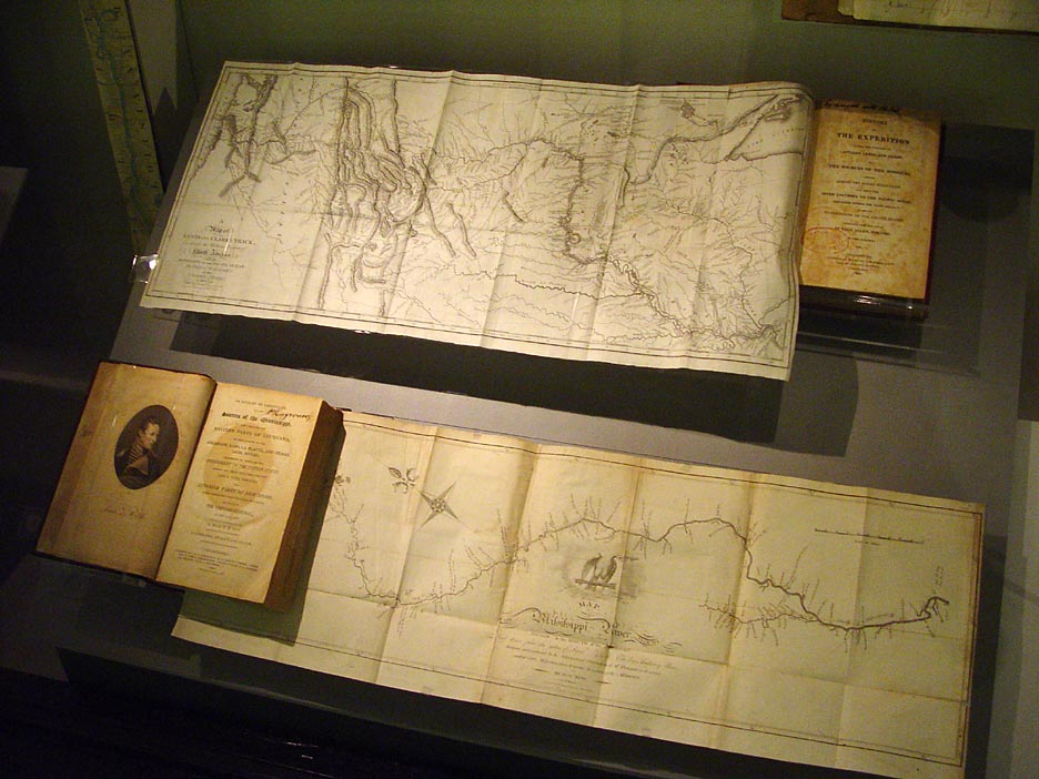
| Pictured above is a first edition map from 1814 of Lewis and Clark's track across the Western portion of North America. Below it is a map from 1810 of the upper Mississippi River Valley by Zebulon Montgomery Pike. | Among the treasures from the collection is an 8 by 8 foot wall map by Henry Popple from 1733. Once owned by King George II, as indicated by the seal in the upper right detail, this map was regarded as the most accurate of its day. |
 |
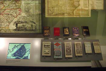 |
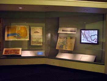
| The exhibit combines the physical maps and books with digital representations and videos of map details and also allows the viewing of maps not included in the exhibit. | The installation includes 74 maps, atlases, guidebooks and charts from David Rumsey's private map collection, which numbers more than 150,000 pieces. |

2 Comments on MAPPING AMERICA - Treasures from David Rumsey Historical Map Collection on Display at the San Francisco International Airport June 2003 - January 2004
Daniel Lee
on March 16, 2016 at 7:35PM wrote:
Thank you.
Saw the exhibit this weekend while passing through SFO. WOW! Spent several hours finding sites of importance in history and in our lives. I took photos but now have found your web site! Thank you for making these treasures available.