Search results from Maps Up Close
Viewing: All Categories
Maps Up Close are interesting details from maps that show unusual features, cartographic conventions, history, graphics, and places. We hope that by focusing on these details, users will discover new ways of seeing and understanding the art of cartography. Click on any of the images below and a new page will open with a live image of the map up close, one that you can pan and zoom, and thus see how the initial zoomed in view fits into the larger map. Clicking on the page map title will return to the initial view.
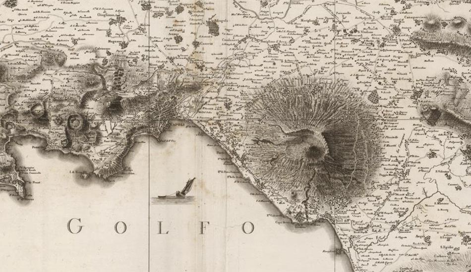 Landscape of Southern Italy 1808
 Mississippi River 1858
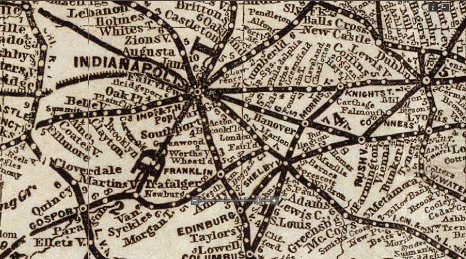 Railroad Mapping in 1871
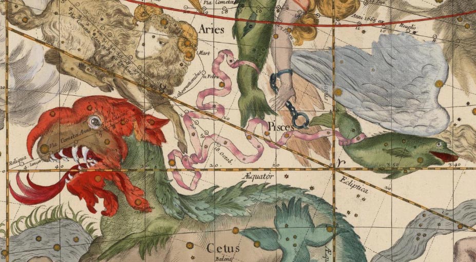 Pardies Constellations 1693
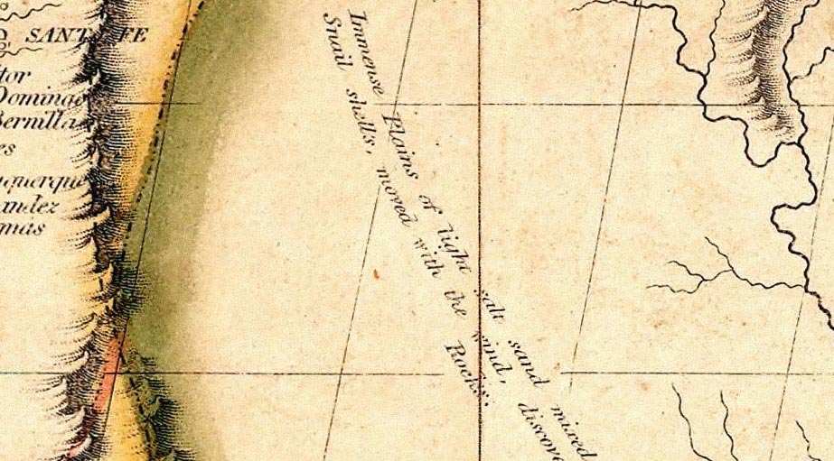 Map Poetry on the Texas Plains 1816
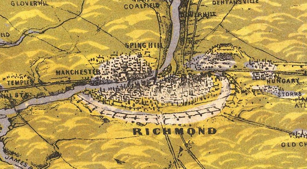 Panorama of the Seat of War 1862
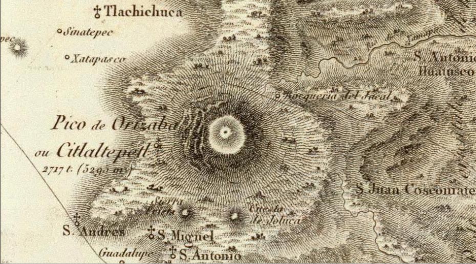 Pico de Orizaba 1807
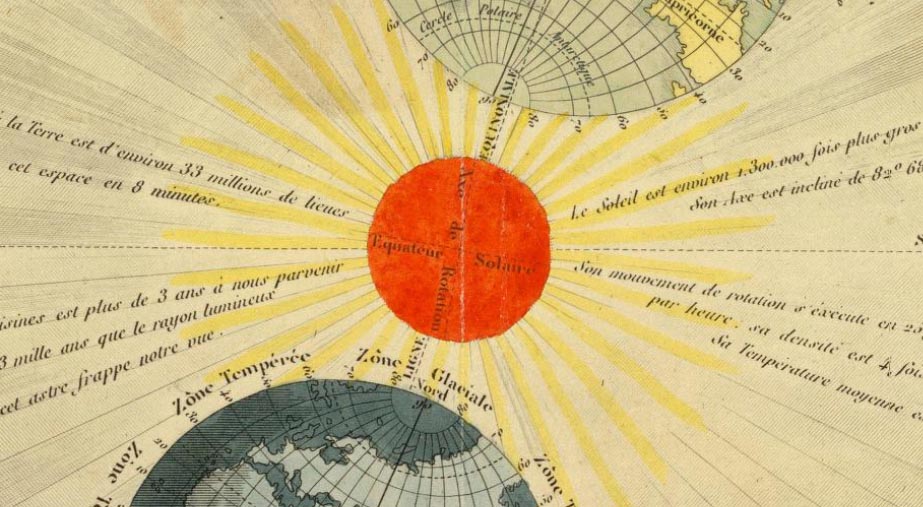 Movements of the Sun 1850
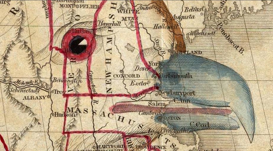 Eagle Eye 1833
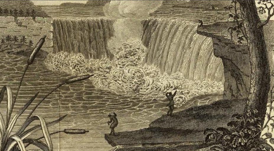 Niagara Falls 1823
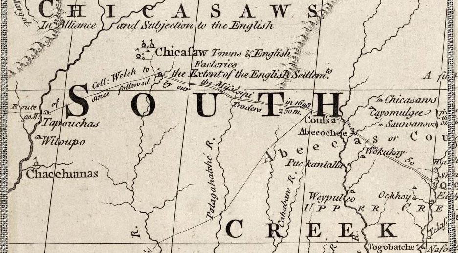 Map of British and French Dominions 1757
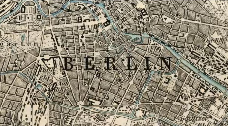 Karte des Deutschen Reiches 1893
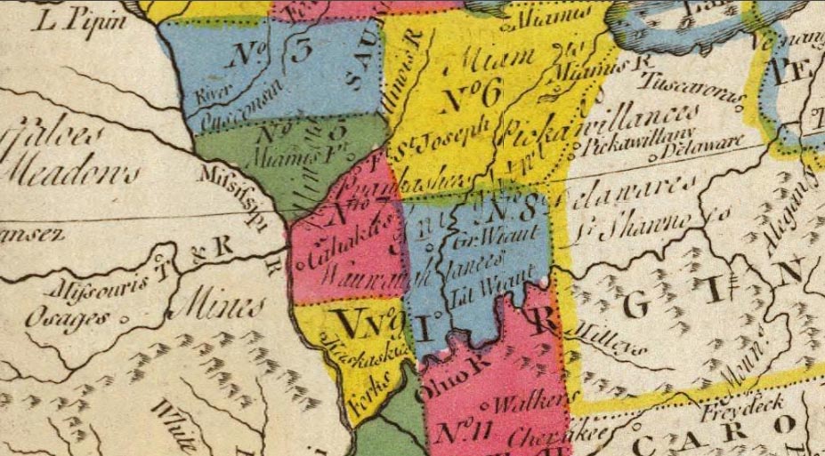 Proposed 11 Territories 1778
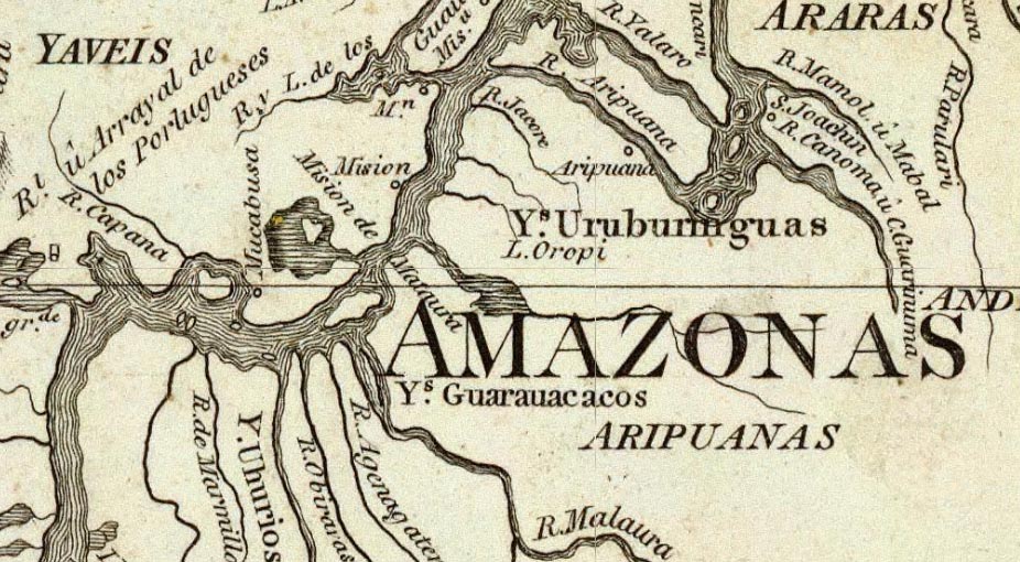 South America 1799
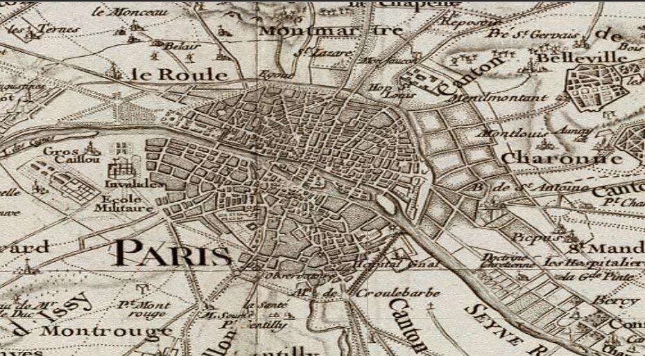 France 1750