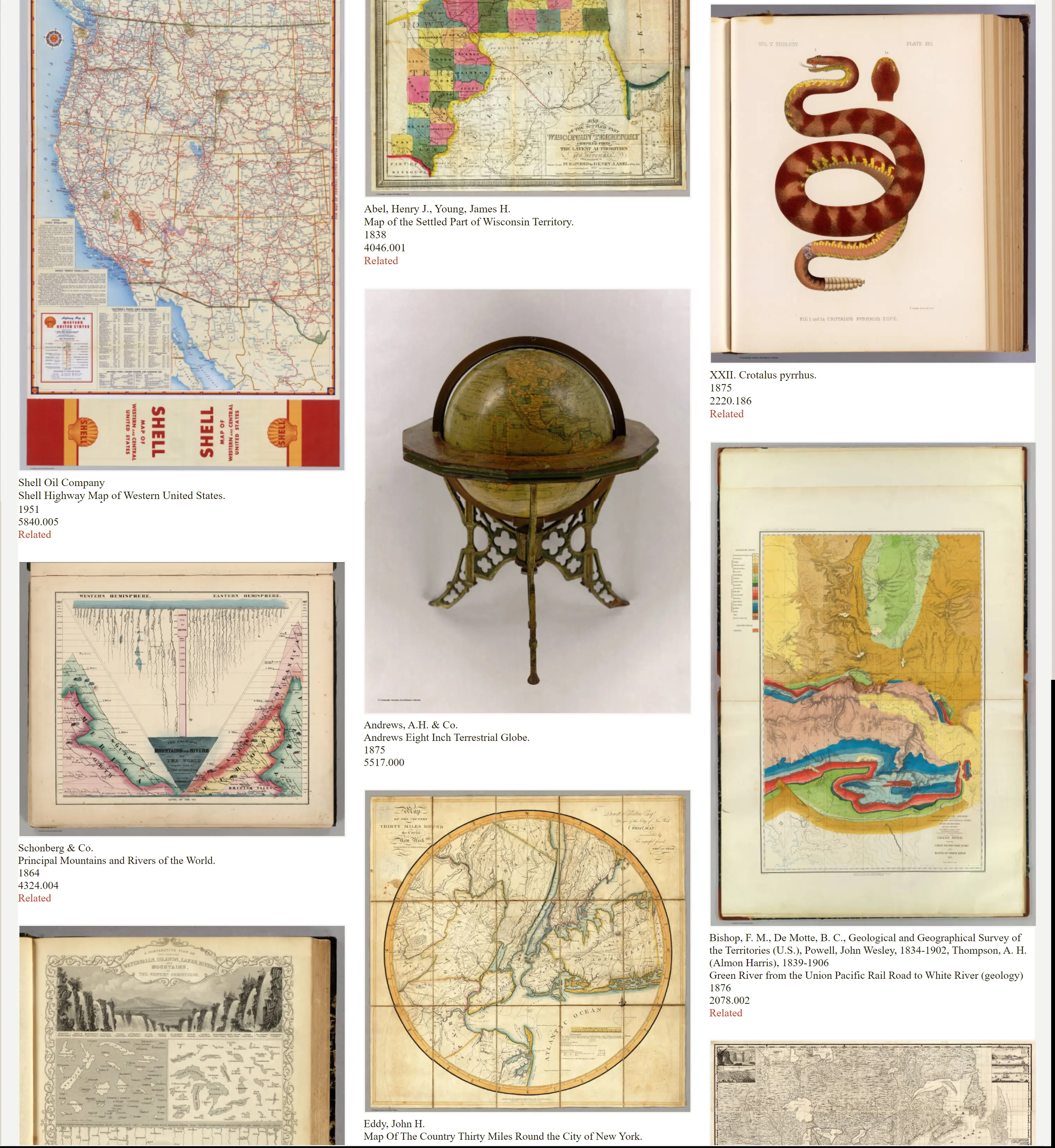
Search results from Blog
Viewing: Featured Maps
1320 Selected Maps And Images From The David Rumsey Map Collection
Over the past 20 years, I have featured these maps and images to rotate on my home page. They represent the growing depth and breadth of the collection. Read full article
More Than Digital Copies: Maps That Interpret Maps
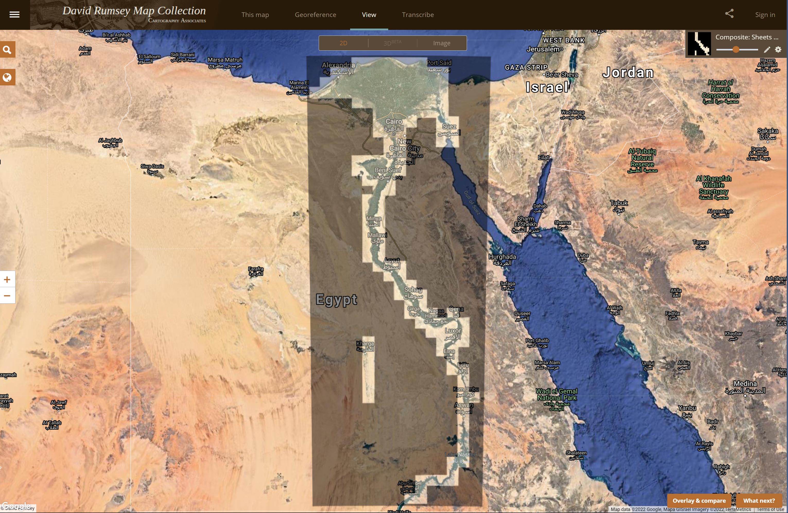
When we digitize historical maps we create copies that can be shared and used by all. But we also create the potential to repurpose these copies to advance understanding of the original maps. To do this, we create composite maps, georeferenced maps, composite views, interactive globes, composite texts and other types of digital versions that expand map interpretation and enhance use. Below are some examples of these interpretive maps that we have created over the past 20 years. To date we hav... Read full article
25 Maps of Silicon Valley And Other Tech Hubs
We previously wrote about Early Mapping of Silicon Valley and the Internet. Since then we have added 25 maps of Silicon Valley and other tech hubs like Route 128 in Boston, Austin, Texas, and Chapel Hill, North Carolina. Also we have added some maps of Silicon Valley before it became a tech center. Here is a link to the entire group, including the earlier maps. These maps offer a unique view of the spatial arrangement of Tech firms. While the process of selling advertising spaces on the maps ... Read full article
18 Interactive Globes Added To The Collection
18 Interactive Globes have been created and added to the map collection - 9 Terrestrial Globes, 3 Celestial Globes, and 6 Planetary Globes. View 6 below or browse all Interactive Globes in View Collection or in the Luna Viewer. The Globes may be rotated, enlarged, and shared with URL. The Globes may be viewed in groups of 6 or as individual high resolution globes. Read full article
Firelei Báez Paints on Rumsey Maps
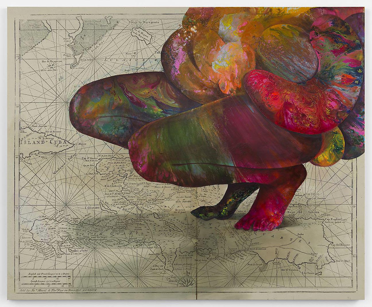
Artist Firelei Báez has opened an exhibition of new paintings at the James Cohan Gallery in New York City (March 5 - April 25, 2020). In many of these paintings Báez uses Rumsey Collection historical maps as the background for the works, with the maps enlarged and printed on canvases up to ten feet. David Rumsey provided the ultra high resolution map images necessary for printing at such a scale. The James Cohan Gallery describes Báez's art as work that "casts diasporic histories into an ima... Read full article
Early Mapping of Silicon Valley and the Web
UPDATE: We have added 29 additional maps and related images of Silicon Valley to the Five maps below. Click here to see all 34 Silicon Valley maps. Five pictorial maps below trace the development of Silicon Valley from 1981 to 1991. Six additional maps show the growth of the Web from 1995 to 2009. There are interesting commonalities between the maps, the first group of five showing the physical space of Silicon Valley in the 1980's and the location of its first start up companies, many now go... Read full article
Coordinates Maps and Art Exhibit Opens at Stanford's David Rumsey Map Center
The David Rumsey Map Center at Stanford Libraries for the first time has borrowed art from artists and institutions around the country, pairing their pieces with cartographic material from its collection for Coordinates: Maps and Art Exploring Shared Terrain. The exhibition features a variety of ways in which the two mediums overlap in inquiries about space, both geographical and metaphorical. The exhibition opened on Thursday April 25, 2019 with a daylong symposium and reception. The exhibit... Read full article
1940 WPA San Francisco Model 42x38 ft Now Online
For the first time since 1942, the entire immense 42 by 38 foot WPA built San Francisco Model can be seen assembled virtually. Digitally knitting together all 158 separate pieces with over 6,000 blocks gives the viewer a sense of the extraordinary accomplishment the model represents. Recently recovered after decades of dusty storage, the model has been cleaned and photographed by a dedicated team of individuals as part of the SFMOMA and San Francisco Public Library project called Public Knowl... Read full article
HD Maps for Self Driving Cars - Podcast with David Rumsey and Wei Luo
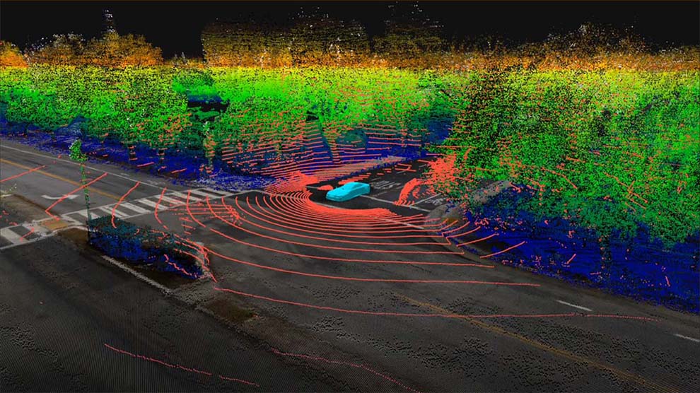
The need for ultra high definition maps for self driving cars is creating a new kind of map - the High Definition or HD map - with resolution down to a few centimeters. This is a new version of the one to one map anticipated by Jorge Luis Borges in his 1946 short story "On Exactitude in Science." Listen to a podcast with David Rumsey and Wei Luo, COO of DeepMap, as they explore how HD maps will change our ideas of what a map is and can be, as well as how past maps have anticipated these comi... Read full article
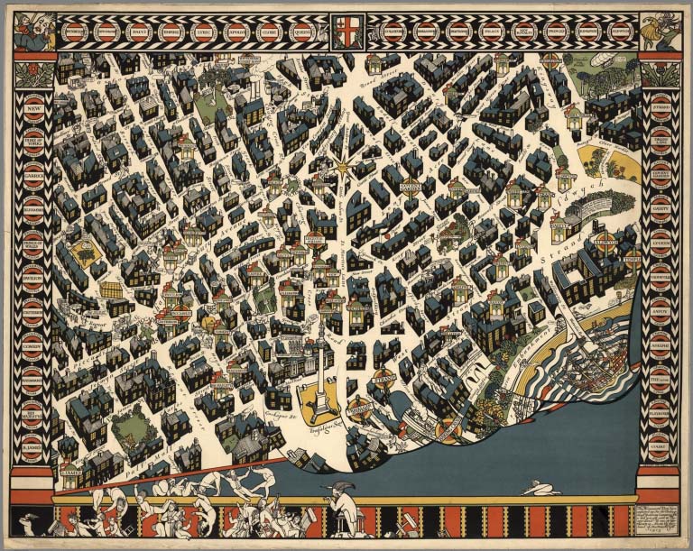
Over 2,000 Pictorial Maps in Online Collection
Over 2,000 Pictorial maps and related images have been added to the David Rumsey Map Collection in the form of separate maps, pocket maps, case maps, atlases, manuscript maps, and wall maps. Pictorial maps are generally described as maps that employ various kinds of illustrations, images, and text that enhance the cartographic message. While they seem to have peaked in popularity in the 1920 to 1940 period, they have antecedents in the 19th and earlier centuries and the form continues today. ... Read full article
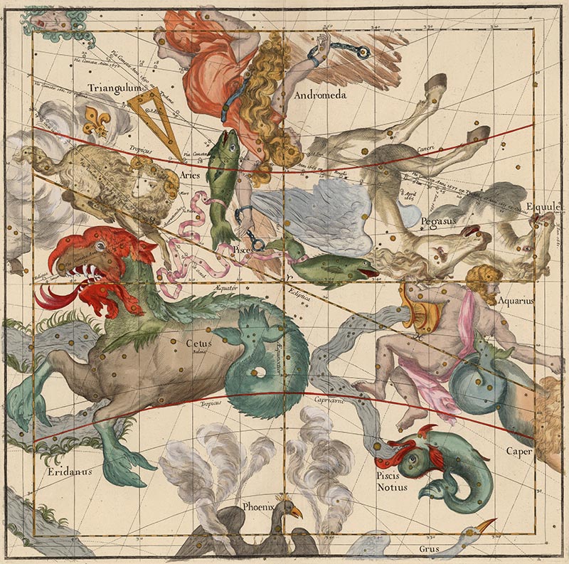
Mapping the Heavens in 1693
Ignace Gaston Pardies created a series of six beautiful star and constellation maps in the late 17th century. All six map plates join together to make a unified view of the Heavens as seen from the Earth. Pardies, a French Jesuit and professor of mathematics in Paris, corresponded with leading scientists of his day, including Newton, Leibniz and Huygens. His background in classical literature and science is evident in the complex artistry and mathematical precision of the six star maps. Pardi... Read full article
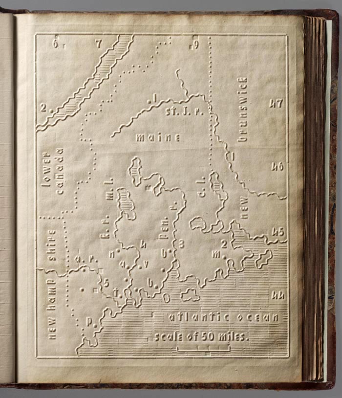
Atlas for The Blind 1837
The Atlas of the United States Printed for the Use of the Blind was published in 1837 for children at the New England Institute for the Education of the Blind in Boston. Without a drop of ink in the book, the text and maps in this extraordinary atlas were embossed heavy paper with letters, lines, and symbols. To the best of our knowledge, this is the first atlas produced for the blind to read without the assistance of a sighted person. Braille was invented by 1825, but was not widely used unt... Read full article
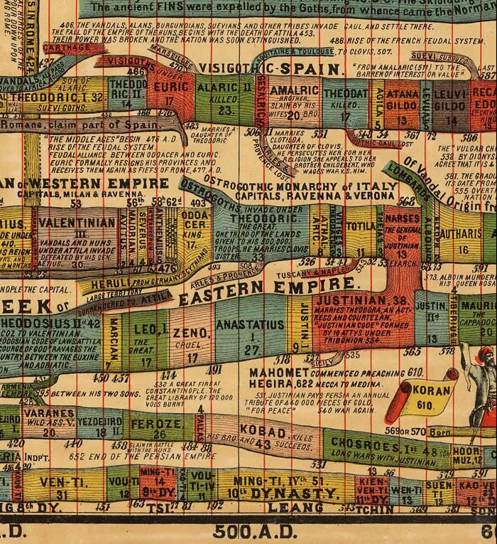
Timeline Maps
Mapping time has long been an interest of cartographers. Visualizing historical events in a timeline or chart or diagram is an effective way to show the rise and fall of empires and states, religious history, and important human and natural occurrences. We have over 100 examples in the Rumsey Map Collection, ranging in date from 1770 to 1967. We highlight a few below. Sebastian Adams' 1881 Synchronological Chart of Universal History is 23 feet long and shows 5,885 years of history, from 4004 ... Read full article
San Francisco Aerial Photographs 1938
We have put online a set of 164 large format, sharp, black and white vertical aerial photographs of San Francisco taken in 1938 from an airplane by Harrison Ryker, a pioneer in aerial photography. The photographs overlap each other and cover the entire city. The resolution is generally better than one foot or even higher with high contrast features allowing visibility of even the paint striping on a basketball court. Relative heights are frequently discernible based on the shadows cast of ob... Read full article
First Atlas of Russia, Published in 1745
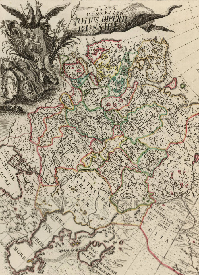
The first Atlas of Russia from 1745 has been added to the online collection. It was published by the Academy of Sciences in St. Petersburg, Russia, expanding on the cartographic work done previously by Russian cartographer Ivan K. Kirilov. Joseph Nicolas de L'Isle, the great French astronomer, was invited by the Academy of Sciences in 1726 to come to St. Petersburg to oversee the production of the atlas, although his role and contributions to the atlas are disputed by historians. The atlas ma... Read full article
Pre-Earthquake San Francisco 1905 Sanborn Insurance Atlas
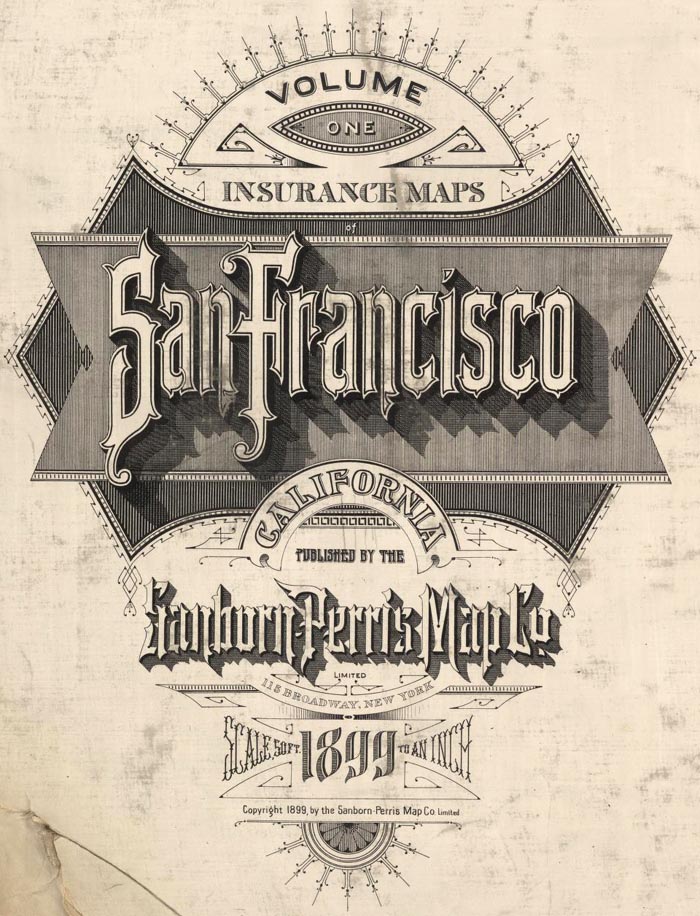
A rare 6 volume 1905 San Francisco Sanborn Insurance Atlas showing the city as it was just months before the great earthquake and fire of 1906 has been added to the map site in collaboration with the San Francisco Public Library which owns the atlas and keeps it in its San Francisco History Center at the main library branch. The atlas was published in 1899/1900 and was updated manually several times by the publisher, the Sanborn-Perris Map Company of New York, with the last updates done in th... Read full article
Karte des Deutschen Reiches 1893 (Map of the German Empire)
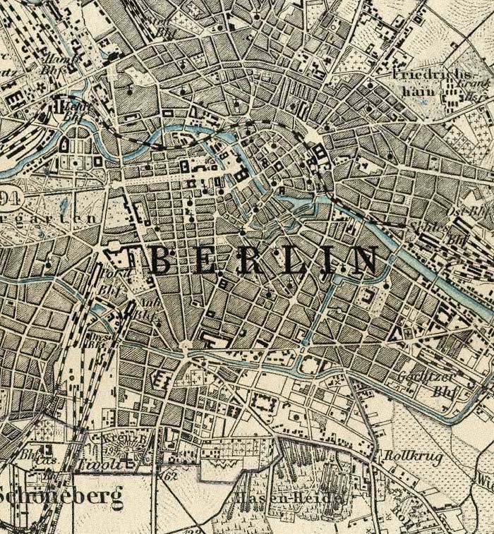
The Karte des Deutschen Reiches 1893 consists of 674 sheets at a scale of 1:100,000. All sheets join together to make a huge, highly detailed and historically significant map of about 1,155 cm x 980 cm (38 ft x 32 ft), covering all of present day Germany and much of present day Poland. The maps show the landscape as it was at the end of the 19th century. We have completed the process of scanning all the sheets individually as well as making a very large digital composite image of all 674 shee... Read full article
Cartouches, or Decorative Map Titles
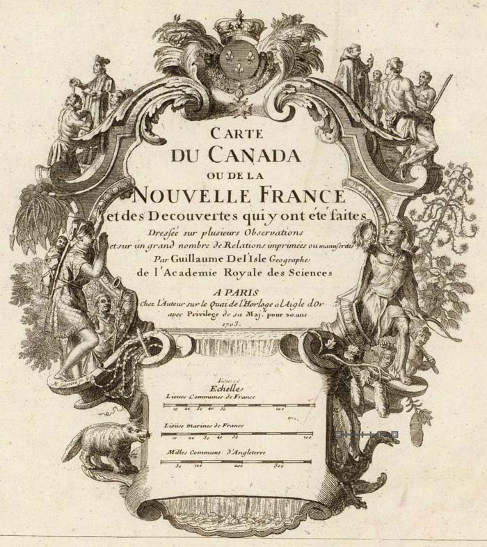
Cartouches are the elaborate decorations that frame map titles and other information about the map. They add an artistic or symbolic narrative to the maps they describe. According to map historian Edward Lynam, cartouches that frame titles first appear on Italian maps in the 16th century. They persist on maps until the middle of the 19th century, going through many stylistic changes. Below are selected cartouches from maps in our collection, beginning in 1703 and ending in 1852. The cartouche... Read full article
19th Century Maps by Children
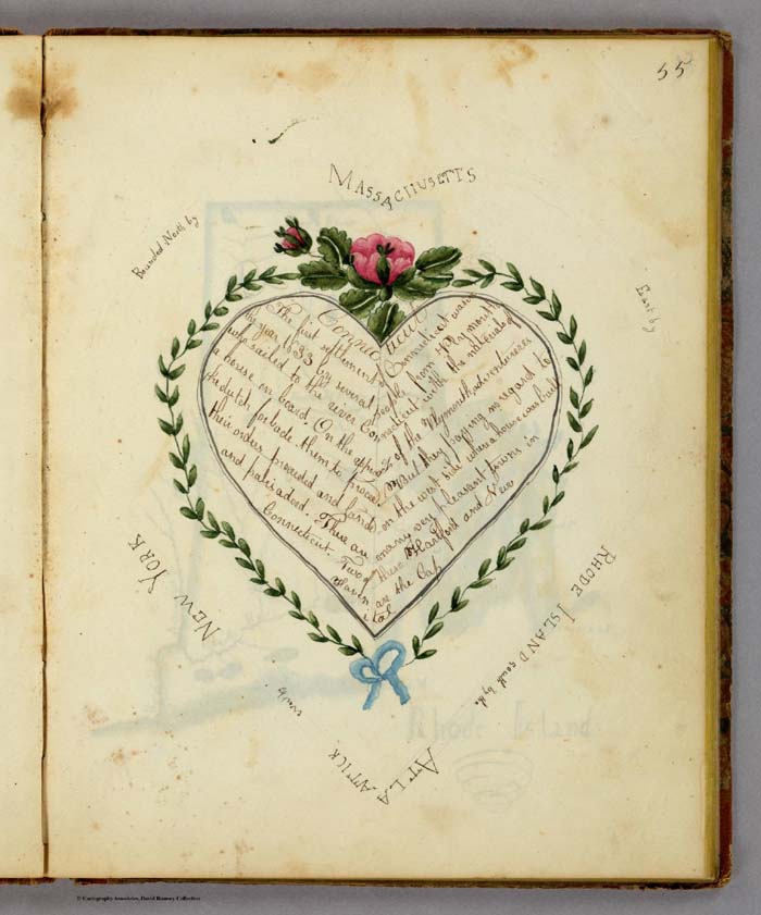
In the 18th and 19th centuries, children were taught geography by making their own maps, usually copies of maps available to them in books and atlases at their schools or homes. Below is a group of maps and geographical diagrams made by children in the 19th century; and some of the school atlases, geographies, and wall maps that may have been their sources. These old maps made by children were hand drawn and colored, one-of-a-kind productions, and it is amazing that any have survived down to ... Read full article
Carte de France - The National Survey of France 1750 - 1815
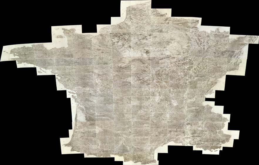
The Carte de France was one of the first national surveys completed on the same scale, 100 toises (a toise was equal to 6ft and the equivalent scale today would be 1:86,400), according to a specific plan. It was led by several generations of the Cassini family (not to be confused with the Italian globemaker Giovanni M. Cassini) starting in the 1740's and continuing through the French revolution and Napoleon's time, to 1815. Four generations of the Cassini family held the position of direc... Read full article
Julius Bien, Master Printer and Cartographer
Julius Bien (1826-1909) was an American lithographic printer and cartographer who worked in New York City in the second half of the 19th century. He was responsible for the publication of thousands of maps issued by the U.S. government and private map publishers. He was a pioneer in the development of chromolithography. He is recognized as one of the finest map printers of his time. The Rumsey collection contains over 1,100 maps published by Bien. Although authorship of 19th century maps a... Read full article
Cassini Terrestrial and Celestial Globes 1790 - 1792
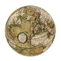
Giovanni Maria Cassini was a noted geographer, engraver, and publisher in Rome. He was one of the last of the fine Italian globe makers active at the end of the 18th century. Cassini made Terrestrial and Celestial Globes in 1790 and 1792. He also published the twelve terrestrial and twelve celestial globe gores that formed these globes in his atlas "Nuovo Atlante Geografico Universale" along with rules for the construction of globes and globe gores. The full title of the Terrestrial Globe i... Read full article
Heights of Mountains, Lengths of Rivers
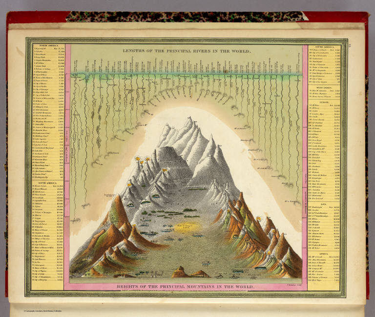
For over 100 years, atlas and map publishers in the United States and Europe published a style of map that was a visualization of the heights and lengths of the world's mountains and rivers. Some of the earliest examples appeared in Europe towards the end of the 18th century. In the United States, the form was popular throughout the 19th century and the early part of the 20th. These maps appeared in atlases, as wall maps, and as pocket maps. One of the most elegant examples was engraved o... Read full article
