- Recent Additions
- August 1, 2008
August 1, 2008 - 1,038 New Maps Added
The following are highlights from 1,038 New Maps added to the David Rumsey Collection. All titles may be found by clicking on the View links below. Or click here to view all 1,038 new maps.
 |
Carte de la France 1790 Cassini, Cesar-Francois, 1714-1784; Capitaine, Louis, ca. 1749-ca. 1797; Cassini family, Paris 5 maps. These maps are a 24 sheet reduction of Cassini's 182 sheet 1750 map, joined together in 4 large sheets of 6 maps each. Includes the key to symbols used in the large Cassini survey. View Maps You can also view these maps in Google Maps and Google Earth |
 |
United States Gazetteer, 1795
Scott, Joseph, Philadelphia 19 maps. This is one of the earliest gazetteers of the United States that was published in the U.S. View Gazetteer |
|
|
A New General Atlas, Ancient and Modern, 1814 |
 |
General Atlas of the World, 1822
DeSilver, Robert, Philadelphia 10 maps. Atlas of hand colored maps. Title page includes table of contents listing 47 maps (of which we have 10: Pennsylvania, Delaware, Maryland, Virginia, North Carolina, South Carolina, Georgia, Tennessee, Ohio and Switzerland). Unbound sheets. View Atlas |
 |
Atlas geographique, statistique, historique et chronologique des deux Ameriques, 1825
Buchon, J. A. C., Paris 53 maps. This atlas is derived from the Carey & Lea 1822 and 1823 American Atlas editions. Many of the maps are updated and several new maps have benn added. View Atlas |
|
|
Atlas of Scotland, 1832 |
 |
Physisch-statistisch u. politischer Atlas von Europa, 1837 |
 |
La Geographie Universelle, 1837
Malte-Brun, Conrad, Paris 70 maps. An atlas of maps intended to accompany Malte-Brun's Universal Geography. Engraved edition. Later editions (1839) were lithographed. View Atlas |
 |
L'Univers. Atlas Classique Et Universel De Geographie Ancienne Et Moderne, 1837 |
 |
Atlas universel de geographie physique, politique, ancienne & moderne, 1842 |
 |
Atlas universel historique et geographique, 1844 |
 |
New General Atlas Of The World, 1844 |
 |
Historisch-geographi scher Hand-Atlas zur Geschichte der Staaten Europa's, 1854 |
 |
Atlas National De La France, 1856 |
 |
Geographischer Atlas uber alle Theile der Erde, 1864 |
 |
Spruner-Menke atlas antiquus, 1865 |
 |
Neuer Atlas der ganzen Erde, 1865 |
 |
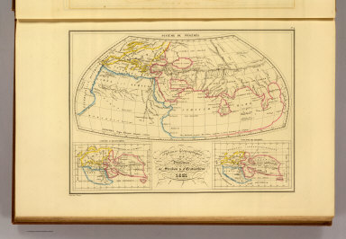
Atlas dresse pour l'Histoire de la geographie et des decouvertes geographiques, 1874 |
 |
Middle Tennessee, Chattanooga Campaigns, 1891 |
 |
Wisconsin bicycle road maps, 1897 |
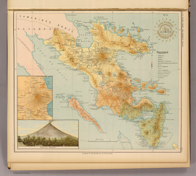 |
Atlas de Filipinas, 1899 |
 |
Atlas metodico para la ensenanza de la geografia de la Republica Mexicana, 1899 |
 |
Atlas Antiquus, 1903 |

les carte sidi elkbir blida alger