 |
Colton's General Atlas, various dates, 1865, 1866, 1869, 1974, 1886
Colton, G.W., New York
Five editions (1865, 1866, 1869, 1874, 1886) of an important world atlas published yearly from 1856 to 1888 by the Colton family of cartographers in New York City. The 1865 edition includes a gift letter from publisher J.H. Colton to his friend Reverend Edmond Taylor of Brooklyn, New York. The 1874 edition has the publisher's original canvas slip dust cover. In addition to these issues, we also have online the 1856 first edition, the 1857 variant edition (Advertising Atlas of America), and the 1859 variant, Colton's Cabinet Atlas (also viewable as a BookReader flip book).
View Five New Colton Atlases
View all Eight Colton Atlases
|
 |
Schonberg's Standard Atlas Of The World, 1865 and Schonberg's Atlas of the United States, 1867
Schonberg & Company, New York
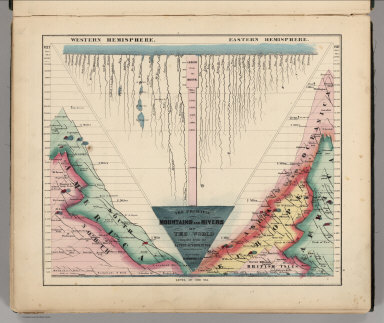
Two editions, 1865 and 1867, of an unusual atlas of the world and the United States, published in New York. Schonberg used very bright colors and striking designs on the maps and charts. View Atlases
|
 |
Composite Images of all Wheeler Survey Topographical, Geological, and Land Classification Atlas Sheets, 1876 (various dates)
Wheeler, George M, Washington, D.C.
The map images are joined and projected in GIS on a conic projection with the central meridian at 111 degrees west - matching the original projection of the Wheeler Survey. View All Composites in Luna Browser
View Topographical Sheets in Google Earth
View Geological Sheets in Google Earth
View Land Classification Sheets in Google Earth
|
 |
Karte des Deutschen Reiches, 1893 (various dates, 1880 to 1910)
Reichsamt fur Landesaufnahme, Germany
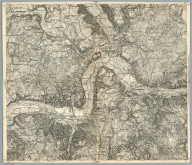
In 1878, the states of Prussia, Saxony, Bavaria, and Wurttemberg (the areas of modern day Germany, Luxembourg, Poland, and Kaliningrad, and part of Lithuania) agreed to map their areas on a 1:100,000 scale in a common topographic grid survey consisting of 674 sheets. We have completed scanning of the first 338 sheets, shown here, with the remaining 336 sheets to be added in the next update. These maps are remarkable for the level of fine detail. The series is known as the KDR-100 (German General Staff map). The mapping continued until 1945, so most sheets were revised at least once. Our collection copies strongly trends toward the earliest editions. View Maps Individually or as a composite of sheets 1-138 in Google Earth or in Luna Browser (composite will grow with later additions)
|
 |
Atlante Geografico de Agostini, 1952
Instituto Geographico di Agostini, Novarra
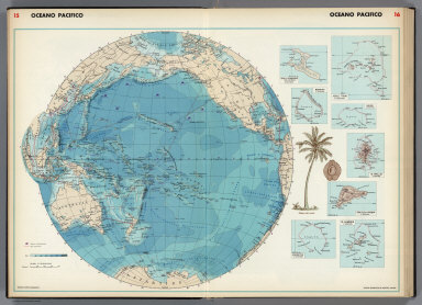
Instituto di Agostini is known for the beautiful maps and atlases it produced. This may be a proof copy of their "Atlante Geografico de Agostini" or intended to accompany an encyclopedia or text, because it is bound into simple plain covers and lacks a title page and index. The thematic maps of this atlas are especially interesting and elegant in design. View Atlas
|
 |
Shell Atlas of Automobile Road Maps, 1956
Shell Oil Company, Chicago San Jose
This is a bound set of 92 doubled sided (making 184 map images) automobile road maps covering the entire United States, Canada, and Mexico. This atlas was bound for use by the staff of the San Francisco Examiner newspaper. Each map was originally published as a separate roadmap distributed at Shell gas (filling) stations. Every map bears the Shell logo and a complete legend and sometimes the statement, "Current at date of publication, but subject to change." View Maps
|


