 |
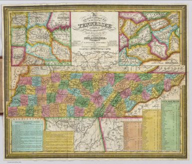
Pocket Maps, various dates 1824 to 1962
Various Authors
Pocket maps were a popular form of map publishing in the 19th and 20th centuries. Maps typically folded into covers that were small enough to carry in one's pocket. Most of the atlas publishers issued their maps in atlas form as well as pocket maps. The map covers often have interesting information including signatures of owners, dates, catalogs and indexes. Later in the 20th century the maps became self folding, typically as automobile road maps or travel maps.
View Pocket Maps
|
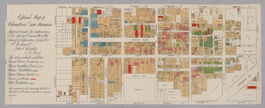 |
Official Map of Chinatown in San Francisco, 1885
A.L. Bancroft, San Francisco
Map details the various districts in San Francisco's Chinatown: Chinese occupancy, gambling, prostitution, opium resorts, joss houses (temples or shrines), and white prostitution. Copy from the San Francisco Public Library. View Map
|
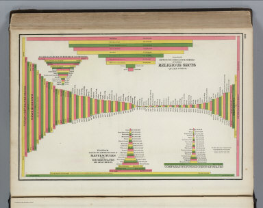 |
Cram's Standard American Atlas Of The World, 1889
Cram, George Franklin , Chicago
The title page claims that the maps show "the true locations of all railroads, towns, villages and post offices that have a name or contain a store." The railroad maps are very detailed. The statistical diagrams are imaginative. View Atlas
|
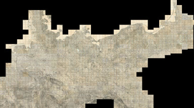 |
Composite Image, Sheets 1 to 501, Karte des Deutschen Reiches, 1893 (various dates, 1880 to 1910)
Reichsamt fur Landesaufnahme, Germany
Our project of scanning and putting online the 674 sheets of the Karte des Deutschen Reich, 1893, is nearing completion - this addition adds another 325 map images and increases the size of the large composite image to 501 maps (the image is 236 GB, 380,000 x 213,000 pixels). View Composite Map
|
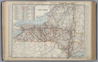 |
Cram's Standard American Railway System Atlas Of The World, 1901
Cram, George Franklin , Chicago
This atlas has some of Cram's best maps of the U.S. and world. A large number of U.S. cities are mapped. View Atlas
|
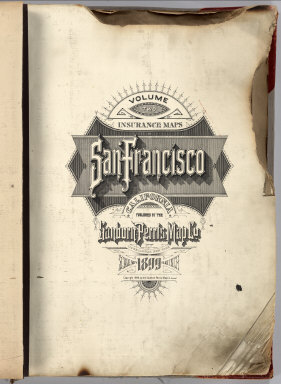 |
Insurance Maps of San Francisco, 1905
Sanborn-Perris Map Company, New York
A rare 6 volume San Francisco Sanborn Insurance Atlas showing the city as it was just months before the great earthquake and fire of 1906 has been added to the map site in collaboration with the San Francisco Public Library which owns the atlas and keeps it in its San Francisco History Center at the main library branch. The atlas was published in 1899/1900 and was updated manually several times by the publisher, the Sanborn-Perris Map Company of New York, with the last updates done in the fall of 1905. The 6 atlas volumes show the city in great detail, with building shape, height, construction materials, and many other details typical of fire insurance atlases of the period. Apparently the volumes were never updated after the earthquake and fire (except for a few small 1908 updates) because the atlas was damaged in the fire with some loss to the edges (as can be seen from the map images). View Atlas
|
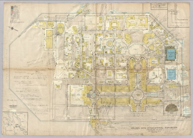 |
Golden Gate International Exposition (1939 World's Fair). Treasure Island. San Francisco, Calif.
Sanborn Map Company,.San Francisco
Detailed insurance map of buildings and layout of fair grounds for the 1939 World's Fair on San Francisco's Treasure Island. The map is heavily annotated (in pencil). Detailed legend. Includes diagram of water system valve control assembly by the main gate. Copy from the San Francisco Public Library. View Map
|


