- Related Collections
- March 10, 2017
David Rumsey Map Center at Stanford Library
The David Rumsey Map Center at Stanford Library opened on April 19, 2016. It houses the entire David Rumsey Map Collection as well as a growing number of other collections: the Glen McLaughlin Collection of maps of California as an Island, the Dr. Oscar I. Norwich Collection of Maps of Africa and over 10,000 antiquarian maps collected over the years by Stanford Special Collections. The Rumsey Map Center is open to the public on weekdays from 1-5pm and weekday mornings by appointment. The Center is used for research, teaching, lectures, conferences, and exhibitions.
From the website: "It is a flexible and rich environment for research and teaching with large collection of rare atlases and maps, high-resolution screens equipped with interactive tools for viewing digital images, and knowledgeable staff. In this collocated environment, scholars can work with original physical items side-by-side with digital surrogates. In digital form, a map can be readily manipulated, enlarged, quantified, aggregated, visualized, and systematically interrogated in a unique way. Working simultaneously with the native format and context (such as a map within an atlas) enriches the information available, giving researchers a chance to embark on discoveries that would otherwise not be possible."
Web page of the Rumsey Map Center: (click on image to view)
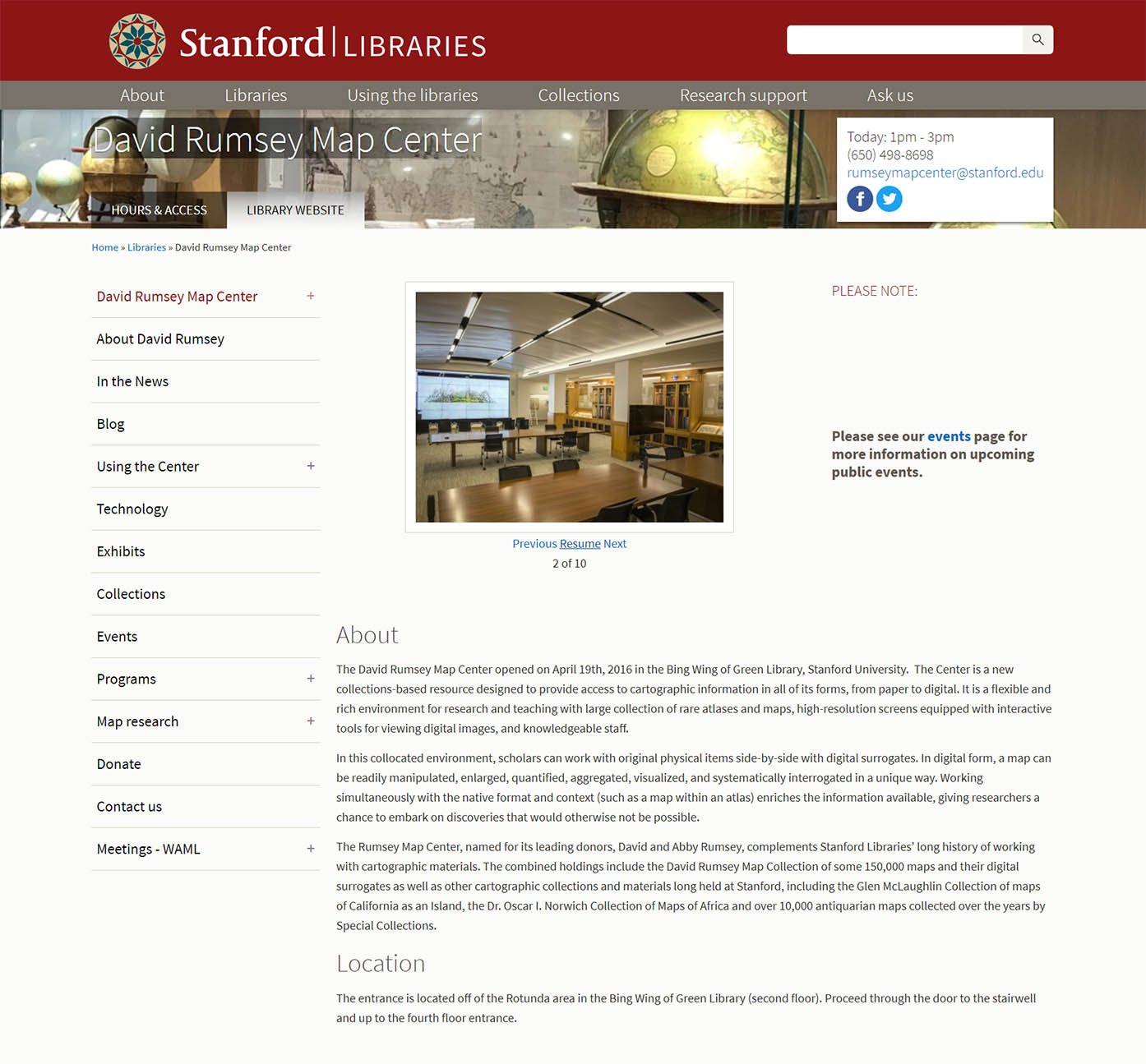
Images of the Rumsey Map Center spaces:
 |
 |
 |
 |
 |
 |
 |
 |
 |
|
Tks for share