- « Back to Maps Up Close
- March 1, 2012
New York Bay 1844
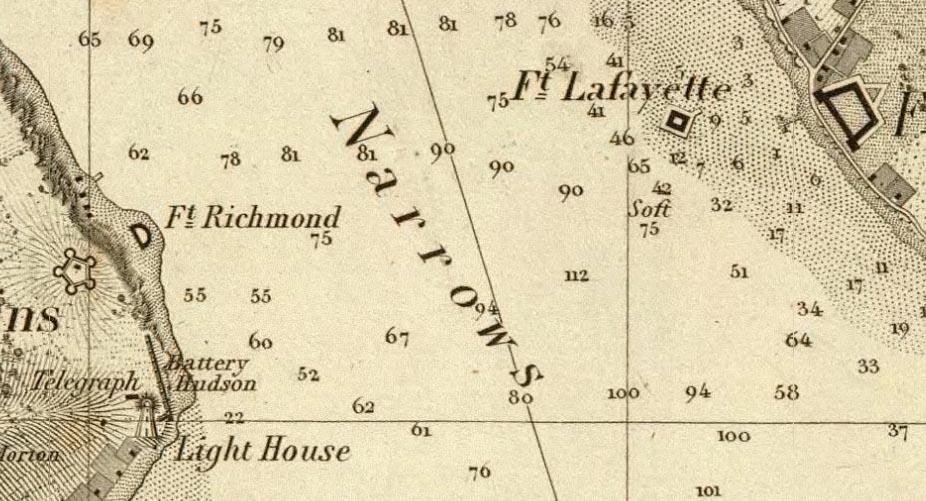
Map of New-York Bay And Harbor And The Environs, United States Coast Survey, 1844
The present location of the Verrazano Narrows Bridge is show here in 1844 on the huge six sheet Map of New York Bay and Harbor, one of the first large chart maps produced by the United States Coast Survey.