- « Back to Maps Up Close
- March 7, 2012
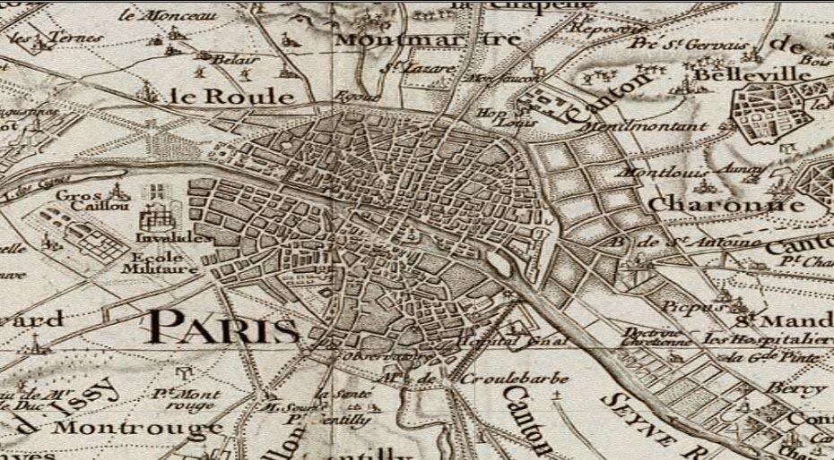
France 1750
Carte de France. Levee par ordre du Roy, Cassini, Cesar-Francois, (map sheets dated 1750-1818)
Here Paris is shown with the surrounding country, as part of the huge 182 sheet map of France by the Cassini family, 1750-1818, one of the first accurate surveys of an entire nation.
