- « Back to Maps Up Close
- August 13, 2012
Railroad Mapping in 1871
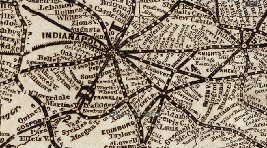
Railroad and Distance Map of the United States and Canada, Gaylord Watson, 1871
Railroad maps of the 19th century developed into a distinct style by the time this "Railroad and Distance Map of the United States and Canada" was published by Gaylord Watson in 1871. Only towns and cities on the railroad lines are shown - if your town was not on the railroad line, it did not exist on these maps. This mirrored the economic impact of the railroads - those towns that were on the lines and had stations grew much faster than those towns bypassed by the railroad routes.